
Want more images or videos?
Request additional images or videos from the seller
1 of 10
Old Horizontal Map of England
About the Item
ST/520 - Old rare Italian map of England, dated 1826-1827 - by Girolamo Tasso, editor in Venise, for the atlas of M.r Le-Sage.
- Creator:Tasso (Author)
- Dimensions:Height: 15.75 in (40 cm)Width: 21.26 in (54 cm)Depth: 0.04 in (1 mm)
- Style:Other (In the Style Of)
- Materials and Techniques:Paper,Other
- Place of Origin:
- Period:
- Date of Manufacture:1827
- Condition:
- Seller Location:Alessandria, IT
- Reference Number:1stDibs: LU1379223166822
About the Seller
4.9
Vetted Seller
These experienced sellers undergo a comprehensive evaluation by our team of in-house experts.
Established in 1984
1stDibs seller since 2015
299 sales on 1stDibs
Typical response time: 5 hours
- ShippingRetrieving quote...Ships From: Alessandria, Italy
- Return PolicyThis item cannot be returned.
More From This SellerView All
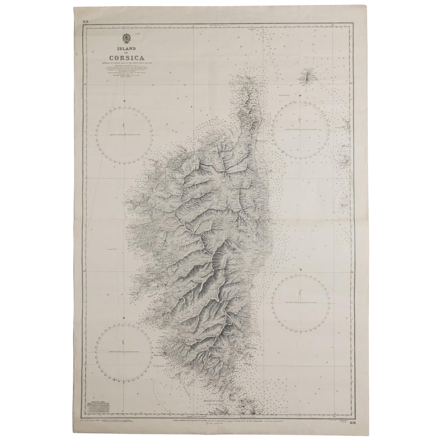
- Old Nautical Map of CorsicaLocated in Alessandria, PiemonteST/556/1 - Old map of Corsica isle, surveyed by Captain Hell, of the French Royal Navy in 1824, engraved and published on 1874, with additions and corre...Category
Antique Early 19th Century English Other Prints
MaterialsPaper
- Antique Map of Principality of MonacoBy Antonio Vallardi EditoreLocated in Alessandria, PiemonteST/619 - "Old Geographical Atlas of Italy - Topographic map of ex-Principality of Monaco" - ediz Vallardi - Milano - A somewhat special edition ---Category
Antique Late 19th Century Italian Other Prints
MaterialsPaper
- Map "Estuary- Mouth of the Thames"Located in Alessandria, PiemonteST/426 - Antique French Map of the estuary of the Thames, map dated 1769 - "Mape of the entrance of the Thames. Designed by filing of Navy cards fo...Category
Antique Mid-18th Century French Other Prints
MaterialsPaper
- Geographical Antique Map of Principality of MonacoBy Bruno SantiniLocated in Alessandria, PiemonteST/609 - Interesting antique color map of Monaco Principality in French language : "Carte qui contient le Principauté de Piémont, le Monferrat et la comté de...Category
Antique Late 18th Century Italian Other Maps
MaterialsPaper
- Frontespice "The Mansions of England in the Olden Time"By Joseph NashLocated in Alessandria, PiemonteST/218-1 - Antique English print by Joseph Nash (1809-1878), famous British painter, member of the Gothic Revival Group. In 1838 he published the Revival Lithographic Collection "Medieval...Category
Antique Mid-19th Century English Other Prints
MaterialsPaper
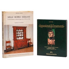
- Old Antiques BooksLocated in Alessandria, PiemonteTwo interesting Antiques books from my collection, indispensable for an antique dealer: "A thousand pieces of furniture from Emilia" (Graziano Manni) - cm.34x25x3 - "Passionati and ...Category
Late 20th Century Italian Other Books
MaterialsPaper


You May Also Like
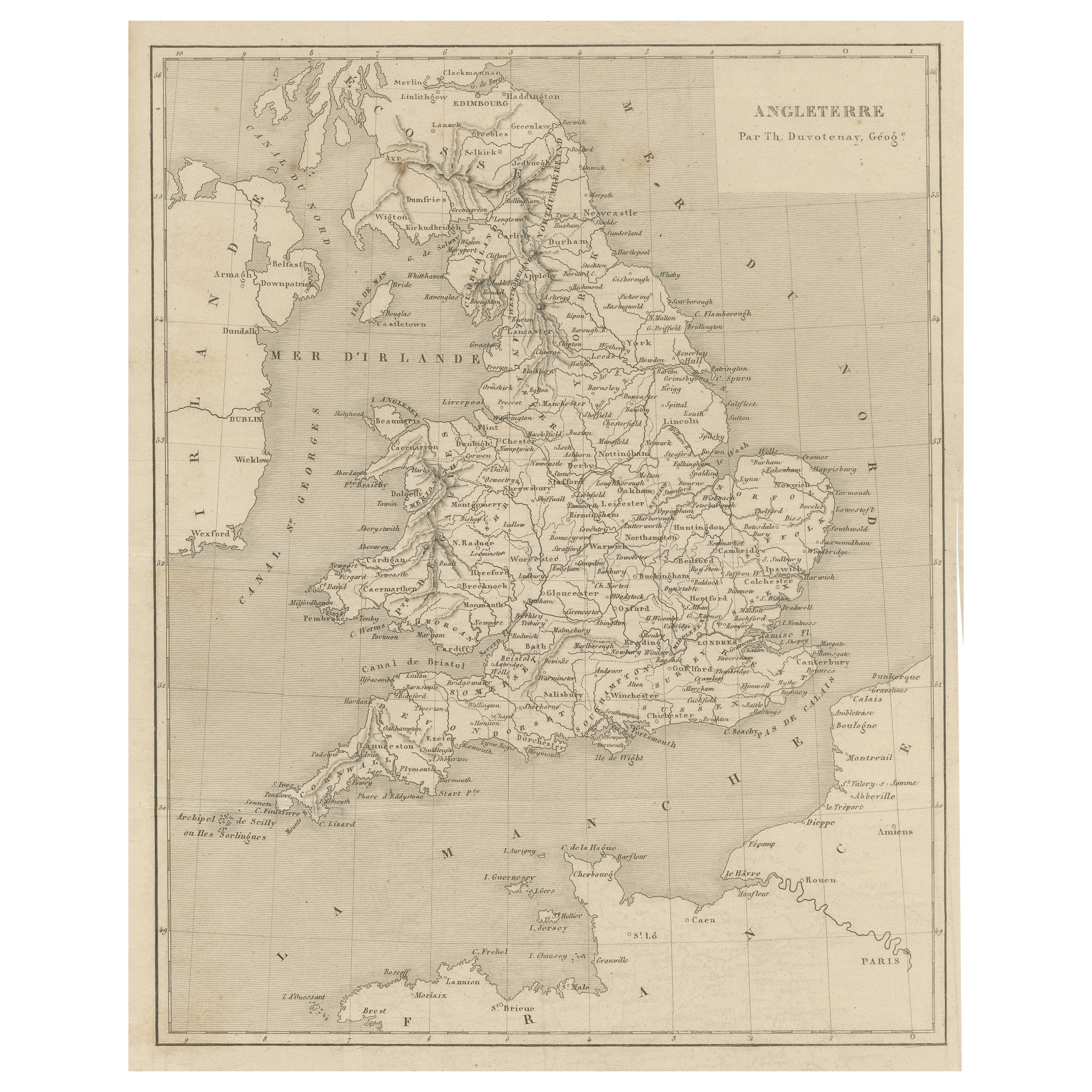
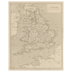
- Steel Engraved Antique Map of EnglandLocated in Langweer, NLAntique map titled 'Angleterre'. Original antique map of England. Engraved by Th. Duvotenay. Originates from 'Complement de L'Encyclopedie Mode...Category
Antique Late 19th Century Maps
MaterialsPaper
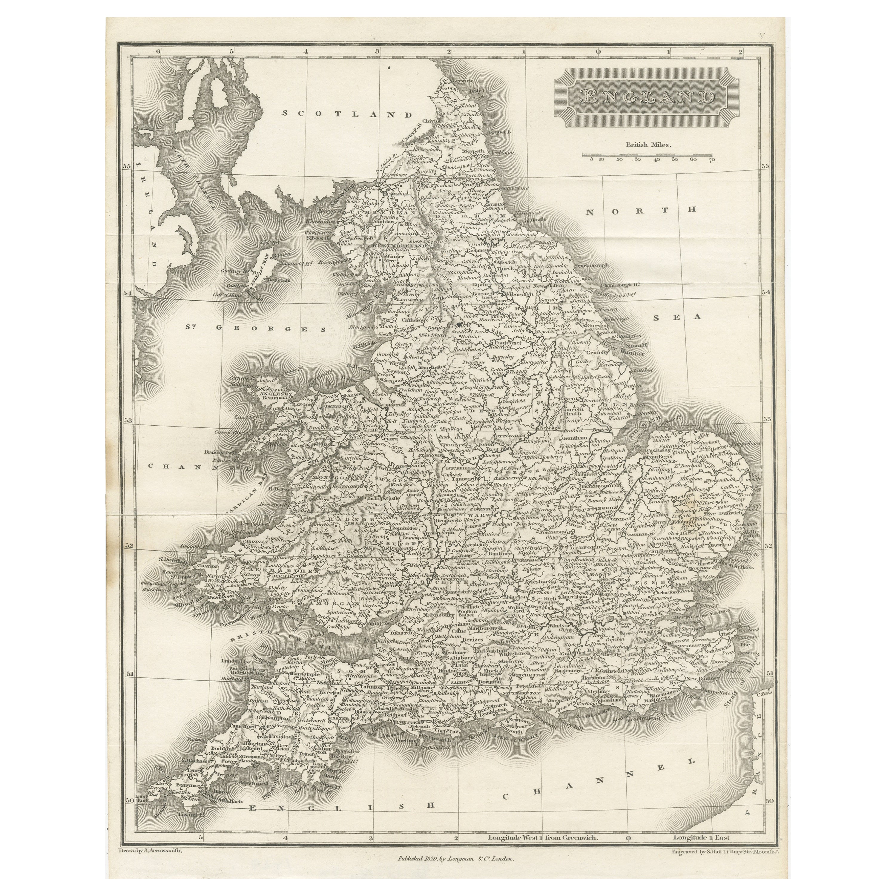
- Small Steel Engraved Map of EnglandLocated in Langweer, NLAntique map titled 'England'. Original steel engraved map of England. Drawn by A. Arrowsmith, engraved by S. Hall. Published 1829 by Longman & Co, London.Category
Antique Mid-19th Century Maps
MaterialsPaper
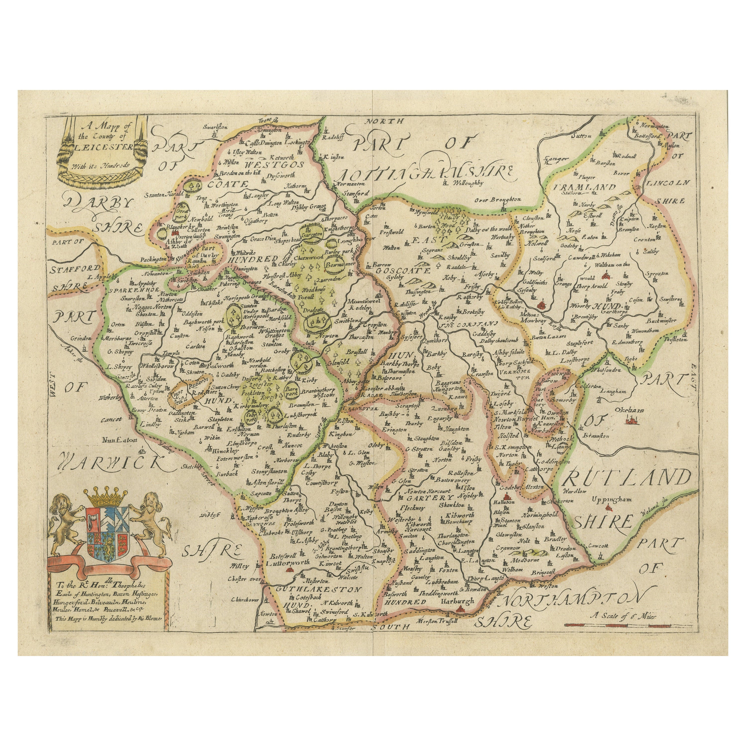
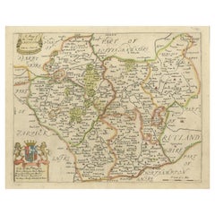
- Original Antique Map of Leicestershire, EnglandLocated in Langweer, NLAntique map titled 'A Mapp of the Country of Leicester'. Original old map of Leicestershire, England. This map originates from 'Britannia: or, a Geographical Description of the Kingd...Category
Antique Late 17th Century Maps
MaterialsPaper
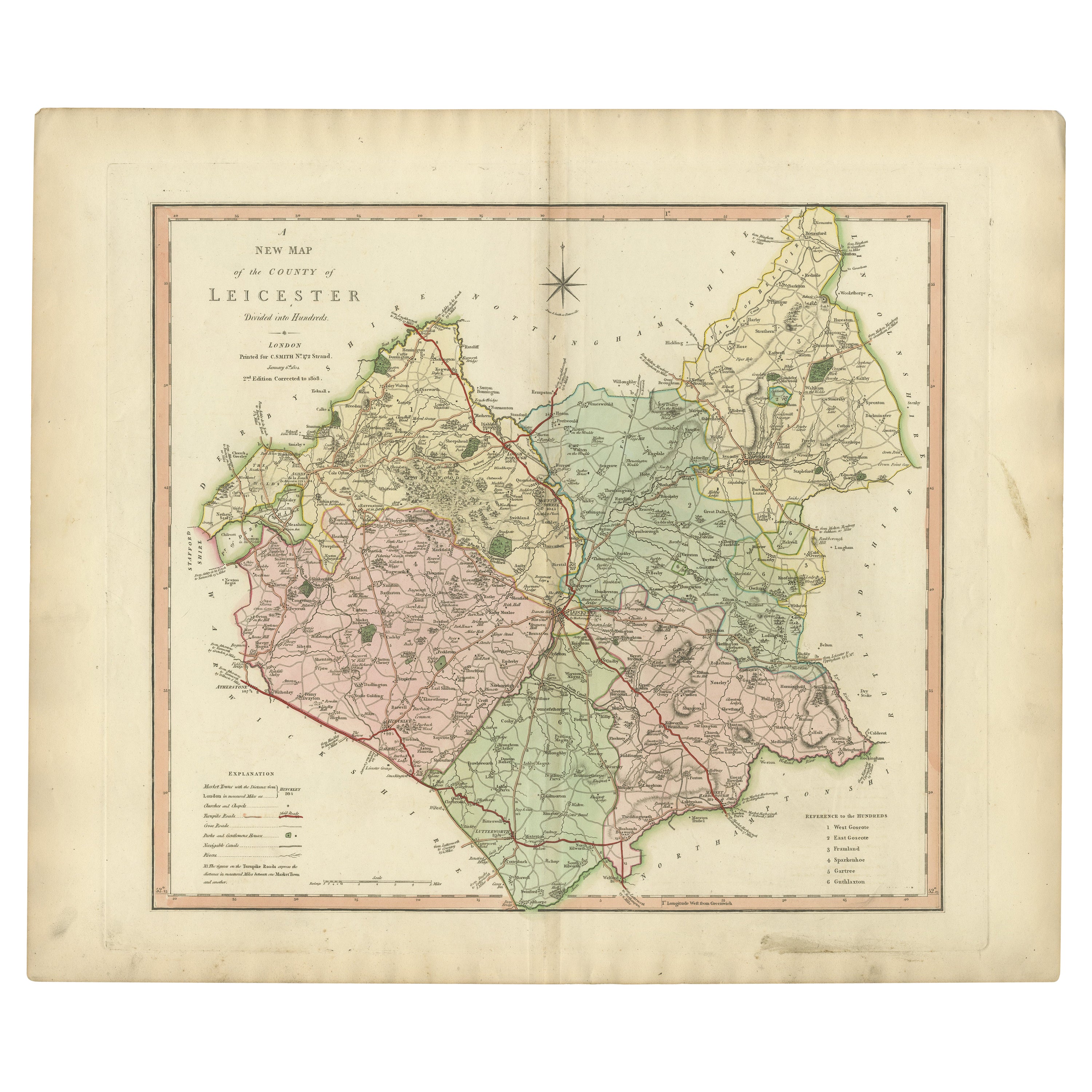
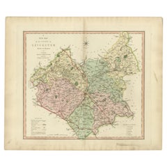
- Antique County Map of Leicestershire, England, 1804Located in Langweer, NLAntique county map of Leicestershire first published c.1800. Villages, towns, and cities illustrated include Lutterworth, Ashby, Hinkley, and Marke...Category
Antique Early 1800s Maps
MaterialsPaper
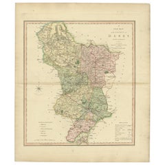
- Antique County Map of Derbyshire, England, 1804Located in Langweer, NLAntique county map of Derbyshire first published, circa 1800. Villages, towns, and cities illustrated include Chesterfield, Wirksworth, Derby, and ...Category
Antique Early 1800s Maps
MaterialsPaper
- Antique Map of Buckinghamshire in England, 1743Located in Langweer, NLAntique map titled 'Buckingham both shyre and shire towne describ'. Map of Buckinghamshire, England. With town plans of Buckingham and Redding. This map originates from Overton's atl...Category
Antique 18th Century Maps
MaterialsPaper

Recently Viewed
View AllMore Ways To Browse
Denton Fish
Cabral Garcia
Atlantic Sturgeon
Jakob van der Schley On Sale
Muramasa Kudo
Munting Botanical Framed
Wild Turkey Audubon
Conklin Used Furniture
Richard Kemble
Selection Of Pablo Picasso Lithographs
Onchi Koshiro
Pedro Friedeberg Silk
Isaak Tirion On Sale
James Meade
Moon And Starr
Frederick Dielman
Paris Metro Map
Katsuyuki Nishijima