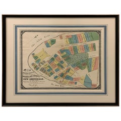
1897 Edition of Dutch West India Co. New Amsterdam, 1642 Map Framed
View Similar Items

Want more images or videos?
Request additional images or videos from the seller
1 of 8
1897 Edition of Dutch West India Co. New Amsterdam, 1642 Map Framed
About the Item
- Dimensions:Height: 25.5 in (64.77 cm)Width: 29.25 in (74.3 cm)Depth: 1.5 in (3.81 cm)
- Style:British Colonial (In the Style Of)
- Materials and Techniques:
- Place of Origin:
- Period:
- Date of Manufacture:1897
- Condition:Additions or alterations made to the original: Re-framed. Wear consistent with age and use. Recently reframed. Map has light overall wear, has not been examined outside of the frame.
- Seller Location:Stamford, CT
- Reference Number:1stDibs: LU1860319151592
About the Seller
5.0
Platinum Seller
These expertly vetted sellers are 1stDibs' most experienced sellers and are rated highest by our customers.
Established in 2010
1stDibs seller since 2016
389 sales on 1stDibs
Typical response time: 10 hours
More From This SellerView All
- Balenciaga 1958 Fashion Illustration by Pierre Mourgue FramedBy Pierre MourgueLocated in Stamford, CT1958 fashion illustration of Balenciaga purple cocoon dress and hat print by Pierre Mourgue. Linen backed print. Professionally framed in carved gilt-wood frame.Category
Vintage 1950s French Hollywood Regency Drawings
MaterialsWood, Glass, Paper
- Framed 1838 Mexico & Gulf of Mexico MapLocated in Stamford, CTFramed 1838 Mexico & Gulf of Mexico map. Printed by Fisher, Son & Co. of London in 1838. As found framed condition. Map has not been examined outside of th...Category
Antique 1830s English American Classical Maps
MaterialsGlass, Wood, Paper
- Framed 1820s Hand Colored Map of the United StatesLocated in Stamford, CTFramed 1820s hand colored map photos of North America and South America. As found framed in giltwood frame.Category
Antique 1820s American Spanish Colonial Maps
MaterialsGiltwood, Paper, Glass
- Framed 1839 Hand Colored Map of the United StatesLocated in Stamford, CTFramed hand colored map of the United States of America from 1839. Newly framed in a giltwood frame.Category
Antique 1830s American American Classical Maps
MaterialsGiltwood, Paper, Glass
- 1830 Mexico and United States Framed MapLocated in Stamford, CTMap of North America published circa 1830. Map shows United States into Canada. Mexico extending into the upper California territory. Texas appears in name but prior to the period of...Category
Antique 1830s American American Classical Maps
MaterialsGlass, Wood, Paper
- 1705 Golfe de Mexico and Florida Framed MapLocated in Stamford, CTFramed map of Mexico & Florida circa 1705, Paris. Small map with Mexico and the Gulf Coast. Inset text indicating Panama, Acapulco, Mexico City and the Mississippi. Extends North to ...Category
Antique Early 1700s French Spanish Colonial Maps
MaterialsGlass, Wood, Paper


You May Also Like
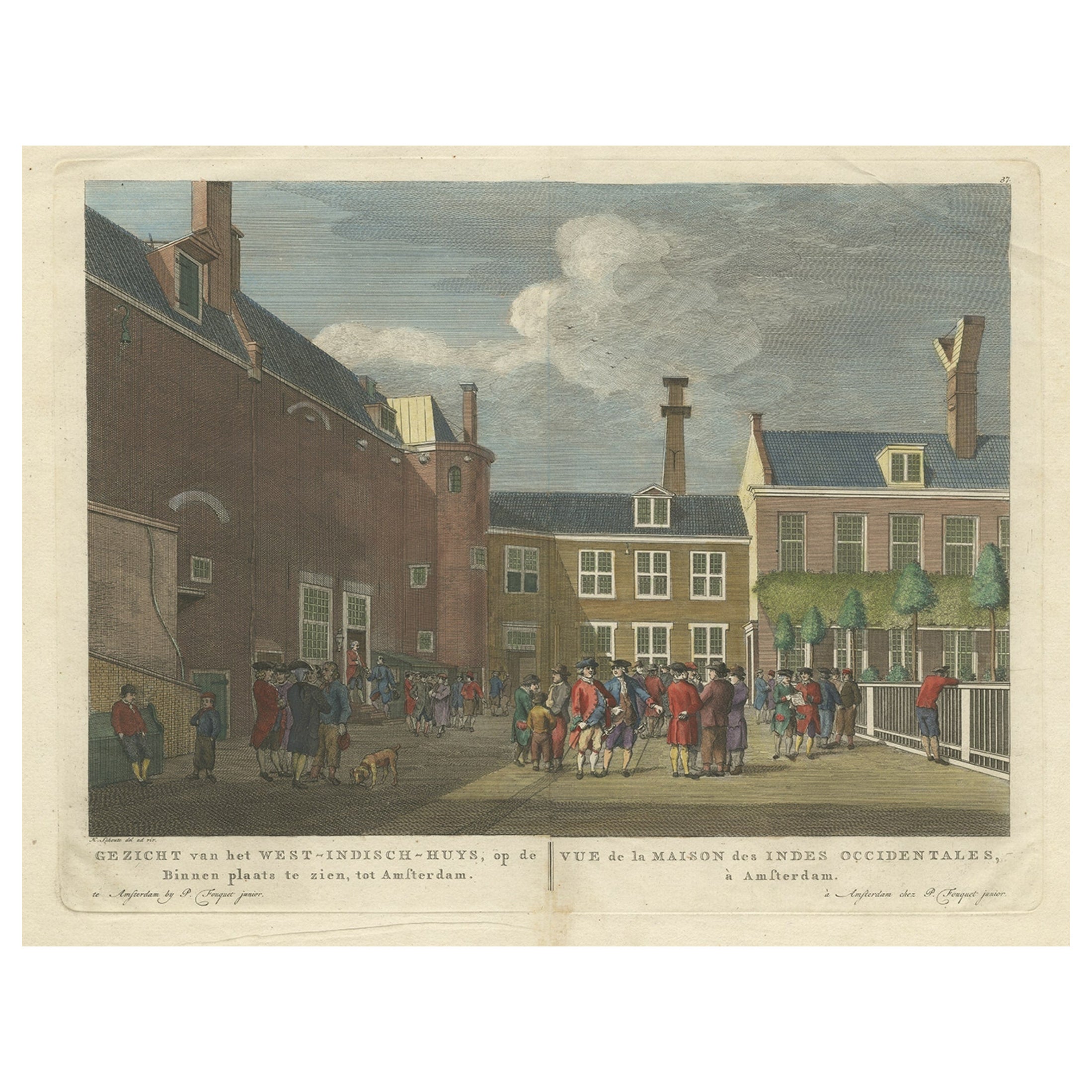
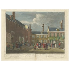
- Antique Print of the West India House in Amsterdam, Netherlands, C.1780Located in Langweer, NLAntique print titled 'Gezicht van het West-Indisch-Huys, op de Binnenplaats te zien, tot Amsterdam'. Original antique print of the court of the West India House (West-Indisch Huis) in Amsterdam, the Netherlands. The West-Indisch Huis ('West India House') is the former headquarters of the Dutch West India...Category
Antique 18th Century Prints
MaterialsPaper
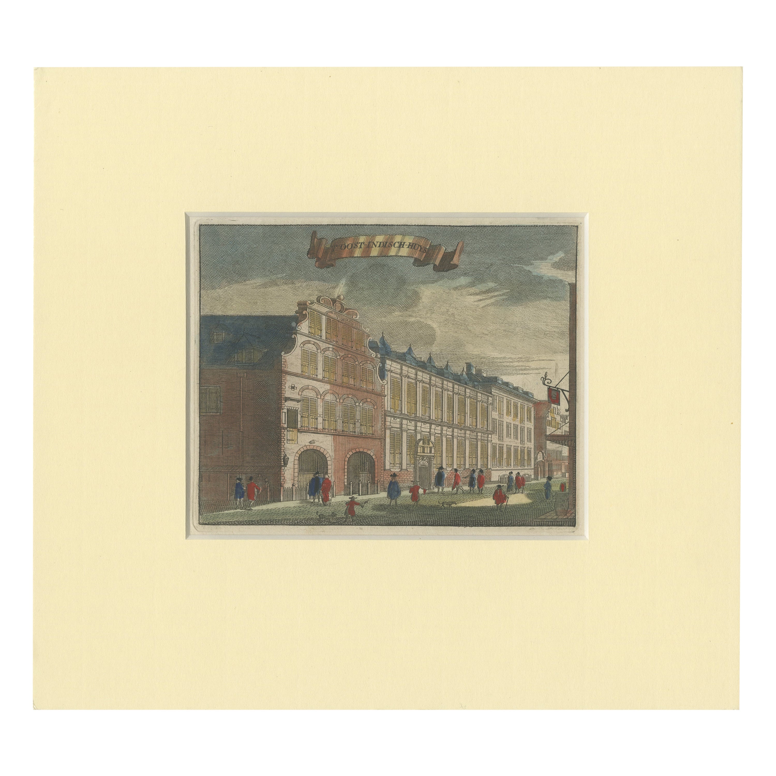
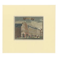
- Antique Print of the East India House in Amsterdam, Holland, 1693Located in Langweer, NLAntique print titled 'Oost-Indisch-Huys'. Original antique print of the East India House in Amsterdam, the Netherlands. This print originates from 'Beschry...Category
Antique 17th Century Prints
MaterialsPaper
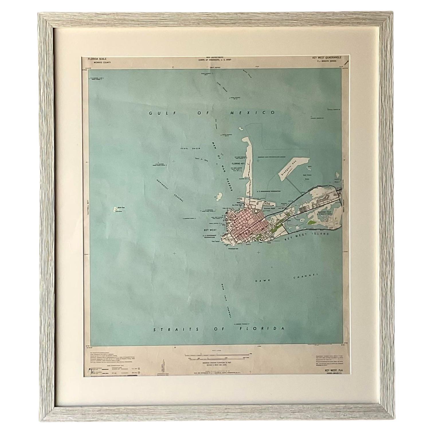
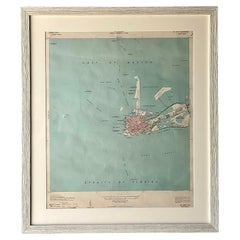
- Vintage Coastal Topographical Map of Key WestLocated in west palm beach, FLA fabulous vintage Boho framed topographical map. A vintage look at the Straights of Florida, specifically Key West. Part of a series of three maps of ...Category
Mid-20th Century North American Decorative Art
MaterialsWood, Paper
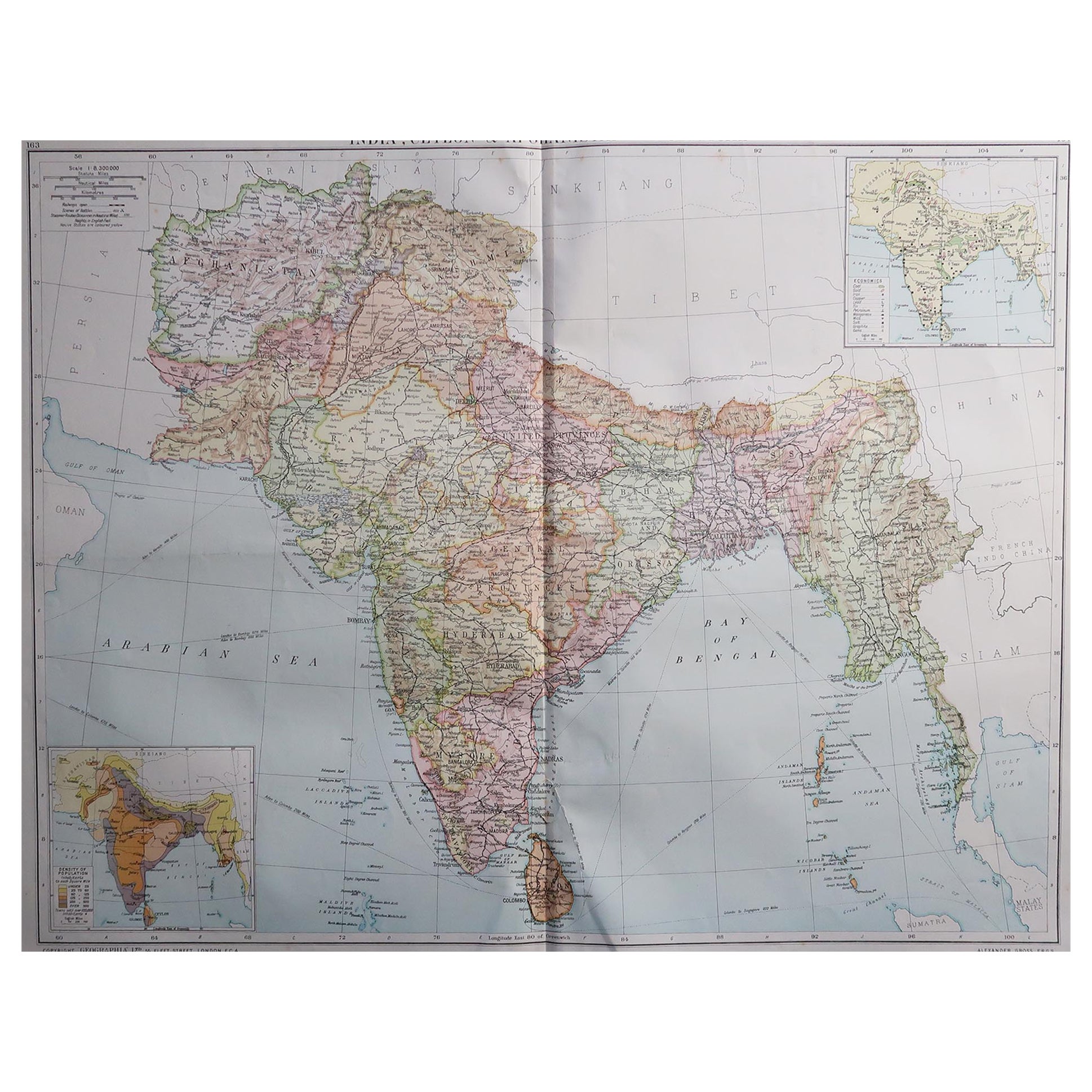
- Large Original Vintage Map of India, circa 1920Located in St Annes, LancashireGreat map of India Original color. Good condition / repair to some minor damage just above Sri Lanka. Shown in the last image. Published by Alexander Gross Unframed.Category
Vintage 1920s English Maps
MaterialsPaper

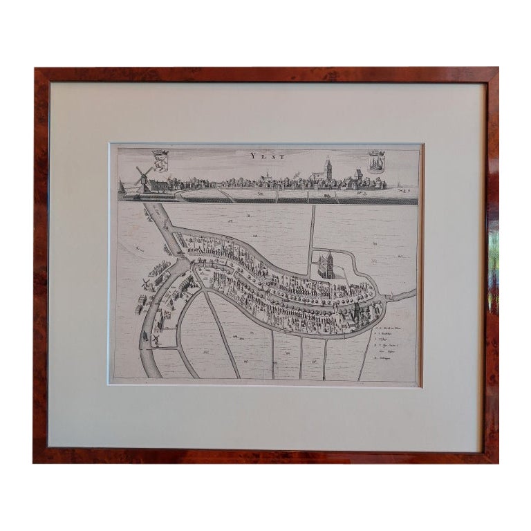
- Antique City View and Map of IJlst, City in Friesland, Holland, Framed, 1664Located in Langweer, NLAntique map titled 'Ylst'. Old map and city view of the city of IJlst, Friesland. This map originates from 'Beschrijvinge van de Heerlyckheydt van Frieslandt' by B. Schotanus à Sterr...Category
Antique 17th Century Maps
MaterialsPaper
 $434 Sale Price20% Off
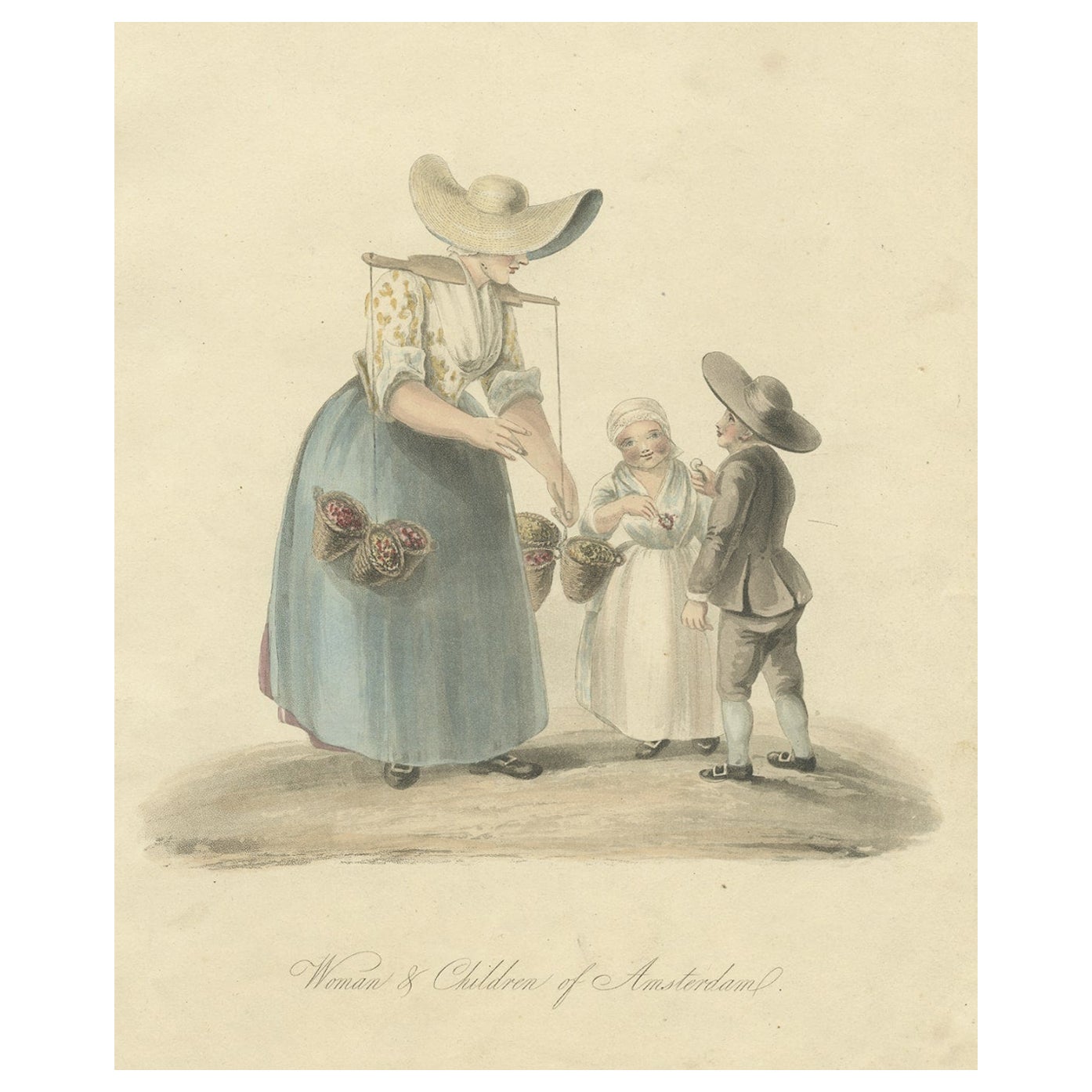
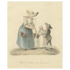
 - Old Antique Engraving of a Woman and Children of Amsterdam, Holland, 1817Located in Langweer, NLAntique costume print titled 'Woman & Children of Amsterdam'. Old costume print depicting a woman and children from Amsterdam. This print originates from 'The Costume of the Netherla...Category
Antique 19th Century Prints
MaterialsPaper
Recently Viewed
View AllMore Ways To Browse
Antique Map Wall Art
British Colonial Art India
Map New Amsterdam
Dutch West India
Framed Map India
Fabric Wall Panels
Metal Wall Art Jere
Vintage Art Wall Hangings
Vintage Wall Art Wall Hangings
Fish Wall Art Wood
Wall Tile Sets
Collection Plaster Wall
Modern Organic Wall Hanging
Large Format Wall Art
Ripple Effect
Irish Antique Decorations
Set Of Wall Tiles
Mid Century Dimensional Wall Art