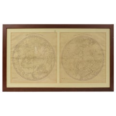
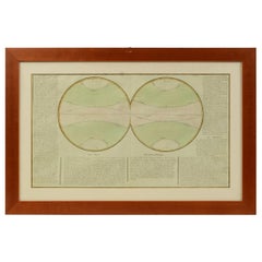
1856s The Constellations Map for Each Month in the Year by FJ Huntington N.Y.
View Similar Items


Want more images or videos?
Request additional images or videos from the seller
1 of 21
1856s The Constellations Map for Each Month in the Year by FJ Huntington N.Y.
About the Item
- Dimensions:Height: 18.71 in (47.5 cm)Width: 32.17 in (81.7 cm)Depth: 0.6 in (1.5 cm)
- Materials and Techniques:
- Place of Origin:
- Period:
- Date of Manufacture:1856
- Condition:
- Seller Location:Milan, IT
- Reference Number:1stDibs: LU1020222483202
About the Seller
4.9
Platinum Seller
These expertly vetted sellers are 1stDibs' most experienced sellers and are rated highest by our customers.
Established in 1999
1stDibs seller since 2014
370 sales on 1stDibs
More From This SellerView All
- 1855 Astronomical Plate of Distance of the Planets by FJ Huntington New YorkLocated in Milan, ITPlate of the distance of the planets “Entered according to Act of Congress in the year 1855 by F.J. Huntington in the Clerk's Office of the District Court of the United States for th...Category
Antique 1850s American Scientific Instruments
MaterialsGlass, Wood, Paper
- 1850 Old French Map Depicting the Entire Earth's Surface Divided into Two PartsLocated in Milan, ITMap depicting the entire earth's surface divided into two parts corresponding to the two hemispheres and showing the Arctic to Antarctic polar circle, the tropics of Cancer and Capri...Category
Antique Mid-19th Century French Maps
MaterialsGlass, Wood, Paper
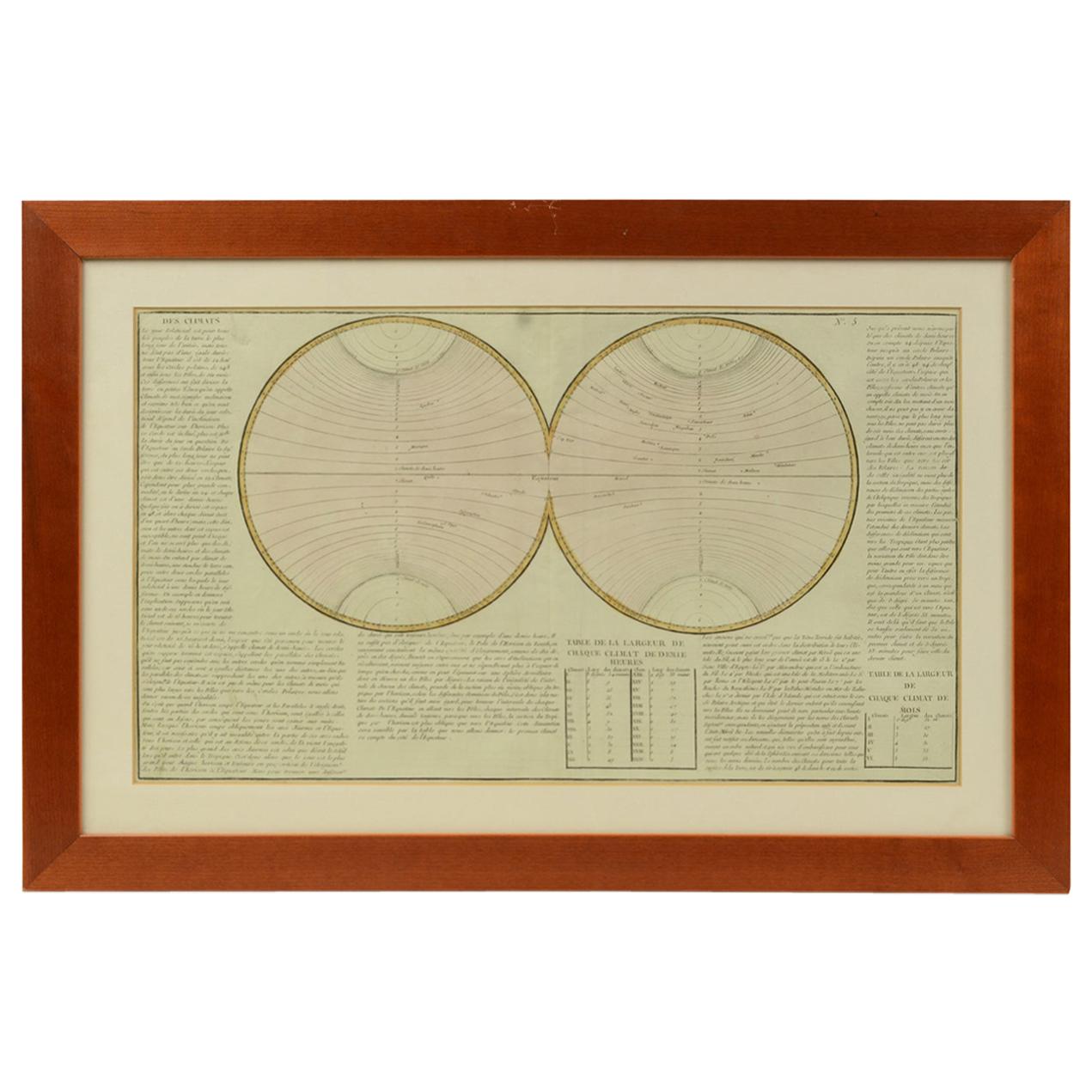
- Old Map Depicting the Entire Earth's Surface Divided into Six Parts France 1850Located in Milan, ITMap depicting the entire earth's surface divided into six parts which depicts the position of peoples on Earth based on the assumption that it is impossible for each people to have t...Category
Antique Mid-19th Century French Maps
MaterialsPaper, Glass, Wood
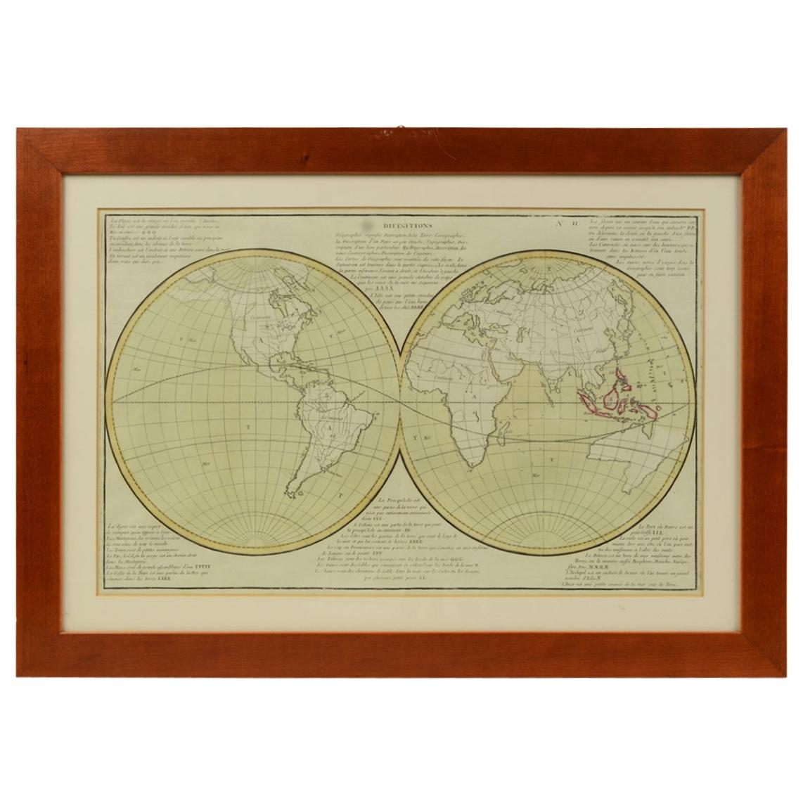
- 1850 Old French Map Depicting the Entire Earth's Surface Divided into Two PartsLocated in Milan, ITGeographical map depicting the entire earth's surface divided into two parts that correspond to the two hemispheres where the emerged lands are depicted which have been classified wi...Category
Antique Mid-19th Century French Maps
MaterialsGlass, Wood, Paper
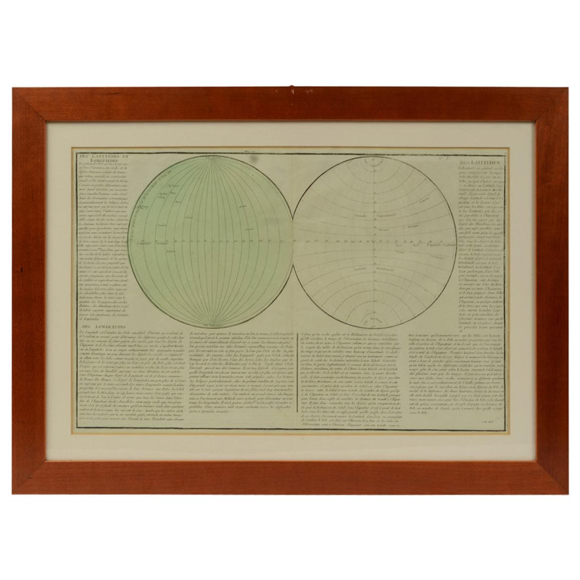
- 1850 Old French Map Depicting the Entire Earth's Surface Divided into Two PartsLocated in Milan, ITGeographical map depicting the entire earth’s surface divided into two parts that correspond to the two hemispheres or globes, the map deals with the latitudes and longitudes, the me...Category
Antique Mid-19th Century French Maps
MaterialsGlass, Wood, Paper
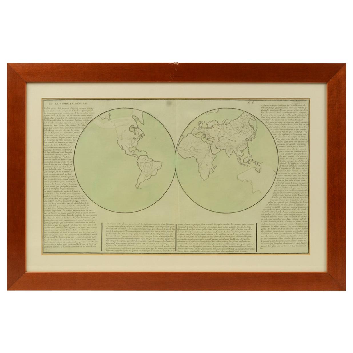
- 1850 Old French Map Depicting the Entire Earth's Surface Divided into Two PartsLocated in Milan, ITGeographical map depicting the entire earth's surface divided into two parts that correspond to the two hemispheres or globes, the map deals with the earth in general. Detailed expla...Category
Antique Mid-19th Century French Maps
MaterialsGlass, Wood, Paper


You May Also Like
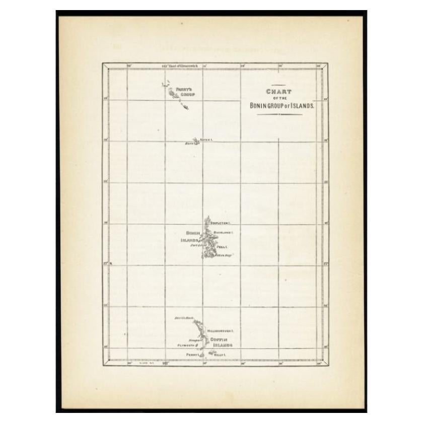
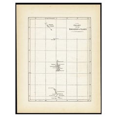
- Antique Map of the Bonin Islands by Hawks, 1856Located in Langweer, NLAntique map titled 'Chart of the Bonin Group of Islands.' The Bonin Islands, known in Japan as the Ogasawara Group are an archipelago of over 30 subtropical and tropical islands, som...Category
Antique 19th Century Maps
MaterialsPaper
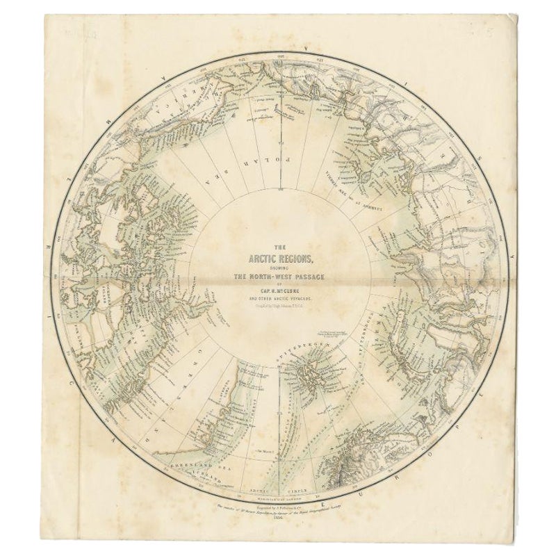
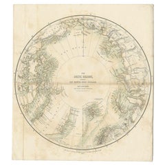
- Antique Map of the North Pole by Fullarton, 1856Located in Langweer, NLAntique map titled 'The Arctic Regions showing the North-West Passage of Captain R. McClure'. Old map of the North Pole, displaying the Northwest Passage di...Category
Antique 19th Century Maps
MaterialsPaper
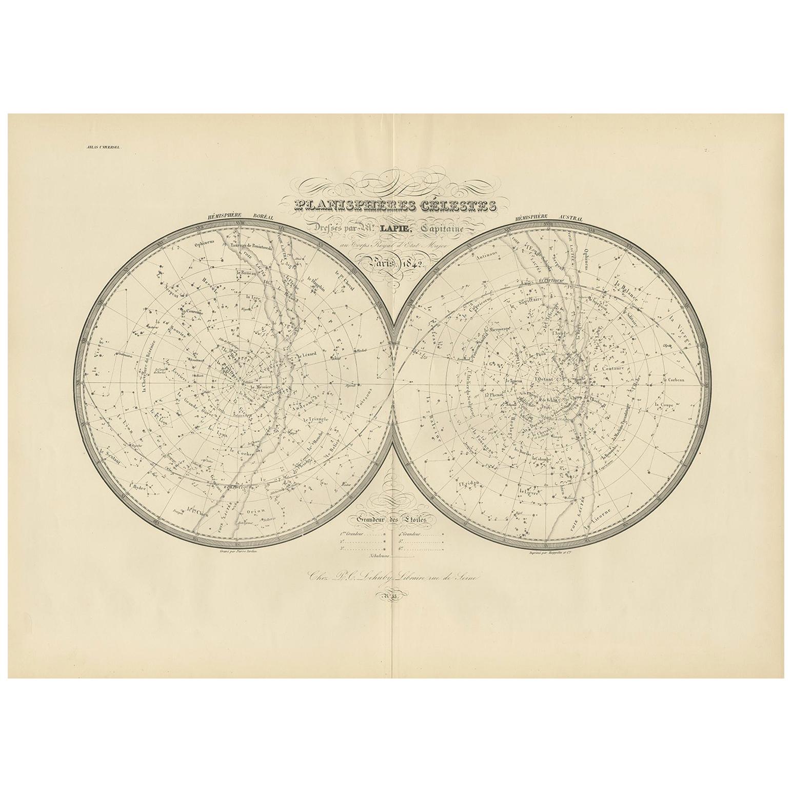
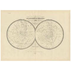
- Antique Map of the Stars and Constellations by Lapie, 1842Located in Langweer, NLAntique map titled 'Planisheres Célestes'. Two hemispheres depicting the stars and constellations. This map originates from 'Atlas universel de géographie ancienne et moderne (..)' b...Category
Antique Mid-19th Century Maps
MaterialsPaper
 $651 Sale Price20% Off
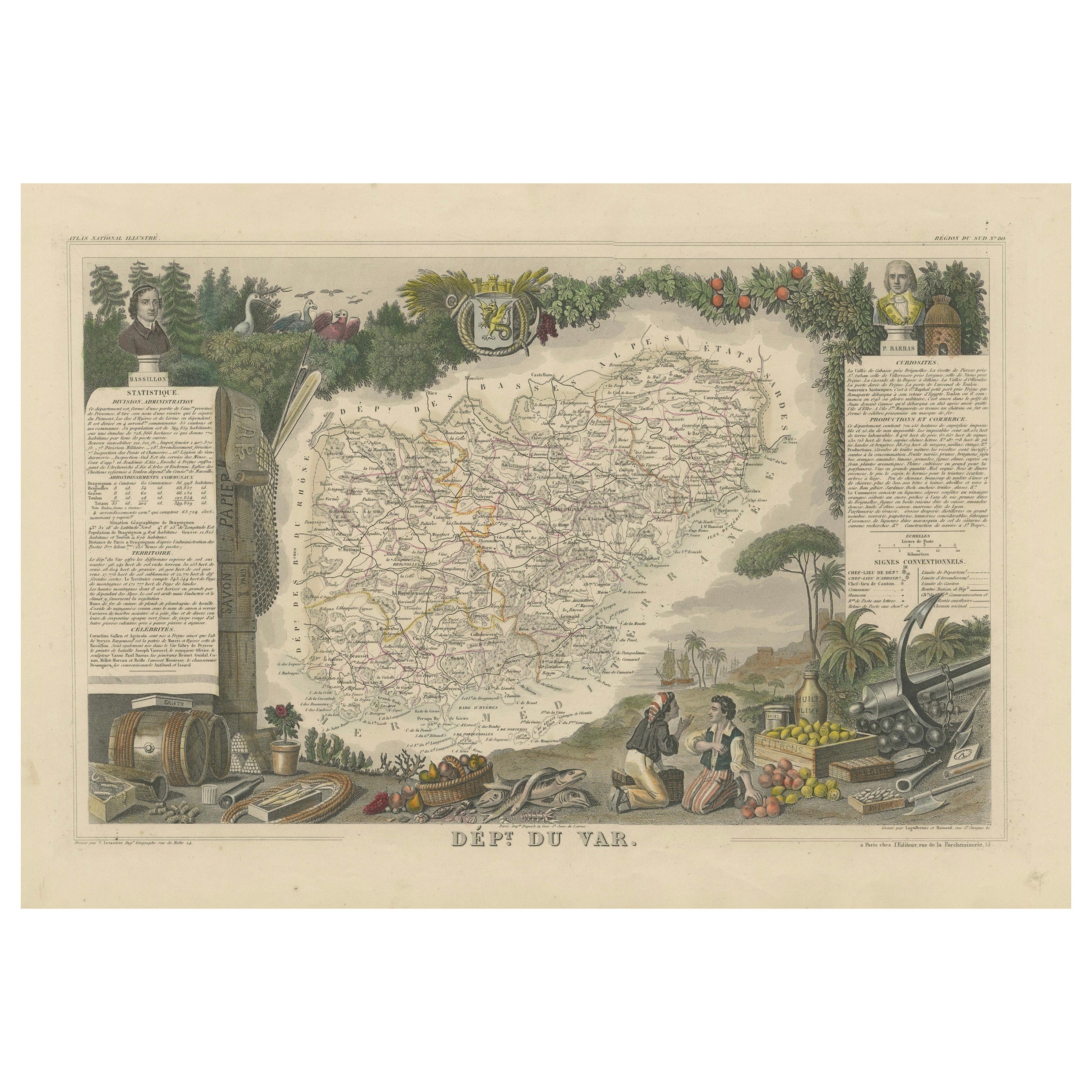
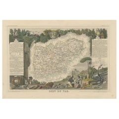
 - The Illustrated Map of the Var Department from the Atlas National Illustré, 1856Located in Langweer, NLThis original hand-colored map is from the "Atlas National Illustré," a work by Victor Levasseur, a French geographer and cartographer known for his richly illustrated maps. The map...Category
Antique 1850s Maps
MaterialsPaper
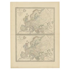
- Antique Map of Europe in the Year 800 and 1500, Published in 1842Located in Langweer, NLAntique map titled 'Carte de l'Europe'. Two maps of Europe. The upper map depicts Europe in the year 800, the lower map depicts Europe in 1500. This map originates from 'Atlas univer...Category
Antique 19th Century Maps
MaterialsPaper
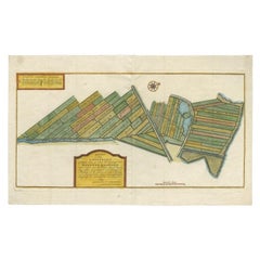
- Antique Map of Estates of The Year 1669 in Amsterdam, Published c.1767Located in Langweer, NLAntique map titled 'Kaart der Landerijen, gelegen aan of onder de rooyinge der honderd gaarden (..)'. Map showing estates in Amsterdam in 1669. Published by Yntema and Tieboel, 1767....Category
Antique 18th Century Maps
MaterialsPaper
Recently Viewed
View AllMore Ways To Browse
Map York
New York Map
Maps New York
Map Of New York
Southern New And Used Furniture
Framed Map United States
Antique Map Of The United States
Antique Maps Of The United States
Antique Furniture In Kent
Wood And Sons Plate
Antique New York Maps
Antique Maps New York
Antique Map New York
Antique New York Map
New York Antique Map
Antique Maps Of New York
Antique Map Of New York
Copper Map Plate