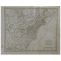
Original Antique Map of The United States, circa 1800
View Similar Items


Want more images or videos?
Request additional images or videos from the seller
1 of 5
Original Antique Map of The United States, circa 1800
About the Item
- Dimensions:Height: 9.5 in (24.13 cm)Width: 12 in (30.48 cm)Depth: 0.07 in (1.78 mm)
- Style:Other (In the Style Of)
- Materials and Techniques:Paper,Other
- Place of Origin:
- Period:
- Date of Manufacture:1800
- Condition:Wear consistent with age and use.
- Seller Location:St Annes, GB
- Reference Number:Seller: 44691stDibs: LU1836320566272
About the Seller
4.9
Platinum Seller
These expertly vetted sellers are 1stDibs' most experienced sellers and are rated highest by our customers.
1stDibs seller since 2016
2,527 sales on 1stDibs
Associations
International Confederation of Art and Antique Dealers' Associations
More From This SellerView All
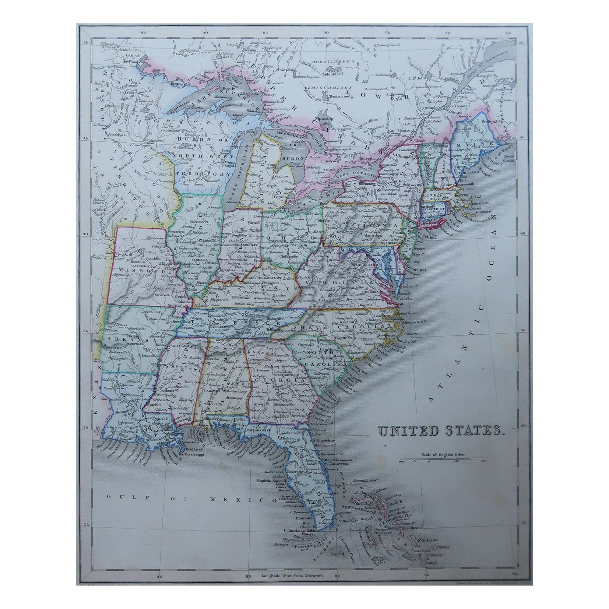
- Original Antique Map of United States, Grattan and Gilbert, 1843Located in St Annes, LancashireGreat map of United States Drawn and engraved by Archer Published by Grattan and Gilbert. 1843 Original colour Unframed.Category
Antique 1840s English Maps
MaterialsPaper
- Original Antique Map of The United States of America, circa 1890Located in St Annes, LancashireGreat map of the USA By The Stanford's Geographical Establishment Original colour Unframed.Category
Antique 1890s English Victorian Maps
MaterialsPaper
- Original Antique Map of South America, circa 1830Located in St Annes, LancashireGreat map of South America Copper plate engraving Published by Butterworth, Livesey & Co., circa 1830 Unframed.Category
Antique Early 1800s English Other Maps
MaterialsPaper

- Original Antique Map of Spain and Portugal, circa 1790Located in St Annes, LancashireSuper map of Spain and Portugal Copper plate engraving by A. Bell Published, circa 1790. Unframed.Category
Antique 1790s English Other Maps
MaterialsPaper
- Original Antique Map of South East Asia by Becker, circa 1840Located in St Annes, LancashireGreat map of South East Asia Steel engraving with original color outline Engraved by Becker Published by Virtue, circa 1840. Unframed.Category
Antique 1840s English Other Maps
MaterialsPaper
- Original Antique Map of Belgium by Tallis, Circa 1850Located in St Annes, LancashireGreat map of Belgium Steel engraving Many lovely vignettes Published by London Printing & Publishing Co. ( Formerly Tallis ), C.1850 Origin...Category
Antique 1850s English Maps
MaterialsPaper


You May Also Like
- Original Antique Hand-colored Map of the United States, circa 1845Located in Langweer, NLAntique map titled 'United States'. Old map of the United States, includes the last part of the North West Territory (present day Wisconsin and part of Minnesota). It also marks Ft. Crawford at the confluence of the Mississippi River and the Ouisconsin River (present day Wisconsin River). Published by Orr & Company; Amen Corner...Category
Antique Mid-19th Century Maps
MaterialsPaper
 $129 Sale Price20% Off
 - Small Map of the United StatesLocated in Langweer, NLAntique map titled 'Amérique septe. Physique'. Small map of the United States. lithographed by C. Callewaert brothers in Brussels circa 1870.Category
Antique Mid-19th Century Maps
MaterialsPaper
- Antique Map of the United States by Lowry, '1852'Located in Langweer, NLAntique map titled 'United States'. Four individual sheets of the United States. This map originates from 'Lowry's Table Atlas constructed and engraved from the most recent Authoriti...Category
Antique Mid-19th Century Maps
MaterialsPaper
- Antique Map of the United States by Balbi '1847'Located in Langweer, NLAntique map titled 'Etats-Unis'. Original antique map of the United States. This map originates from 'Abrégé de Géographie (..)' by Ad...Category
Antique Mid-19th Century Maps
MaterialsPaper
 $173 Sale Price20% Off
 - Antique Map of the Eastern United States with Inset Map of TexasLocated in Langweer, NLAntique map titled 'Verein-Staaten von Nord-America mit Ausnahme Florida's und der Westlichen Territorien'. This map extends as far west as Louisiana and only includes the northern p...Category
Antique Mid-19th Century Maps
MaterialsPaper
 $467 Sale Price20% Off
 - Antique Map of the United States of North America, c.1882Located in Langweer, NLAntique map titled 'United States of North America'. Old map of the United States of North America. This map originates from 'The Royal Atlas of Modern Geography, Exhibiting, in a Se...Category
Antique 1880s Maps
MaterialsPaper


