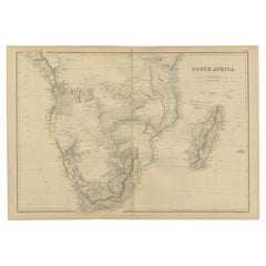
Antique Map of South Africa by W. G. Blackie, 1859
View Similar Items

Want more images or videos?
Request additional images or videos from the seller
1 of 6
Antique Map of South Africa by W. G. Blackie, 1859
About the Item
- Dimensions:Height: 14.57 in (37 cm)Width: 21.26 in (54 cm)Depth: 0.02 in (0.5 mm)
- Materials and Techniques:
- Period:
- Date of Manufacture:1859
- Condition:Wear consistent with age and use. General age-related toning. some foxing, tear on the bottom folding line. Please study image carefully.
- Seller Location:Langweer, NL
- Reference Number:Seller: BG-12685-1-631stDibs: LU3054325242712
About the Seller
5.0
Platinum Seller
These expertly vetted sellers are 1stDibs' most experienced sellers and are rated highest by our customers.
Established in 2009
1stDibs seller since 2017
More From This SellerView All
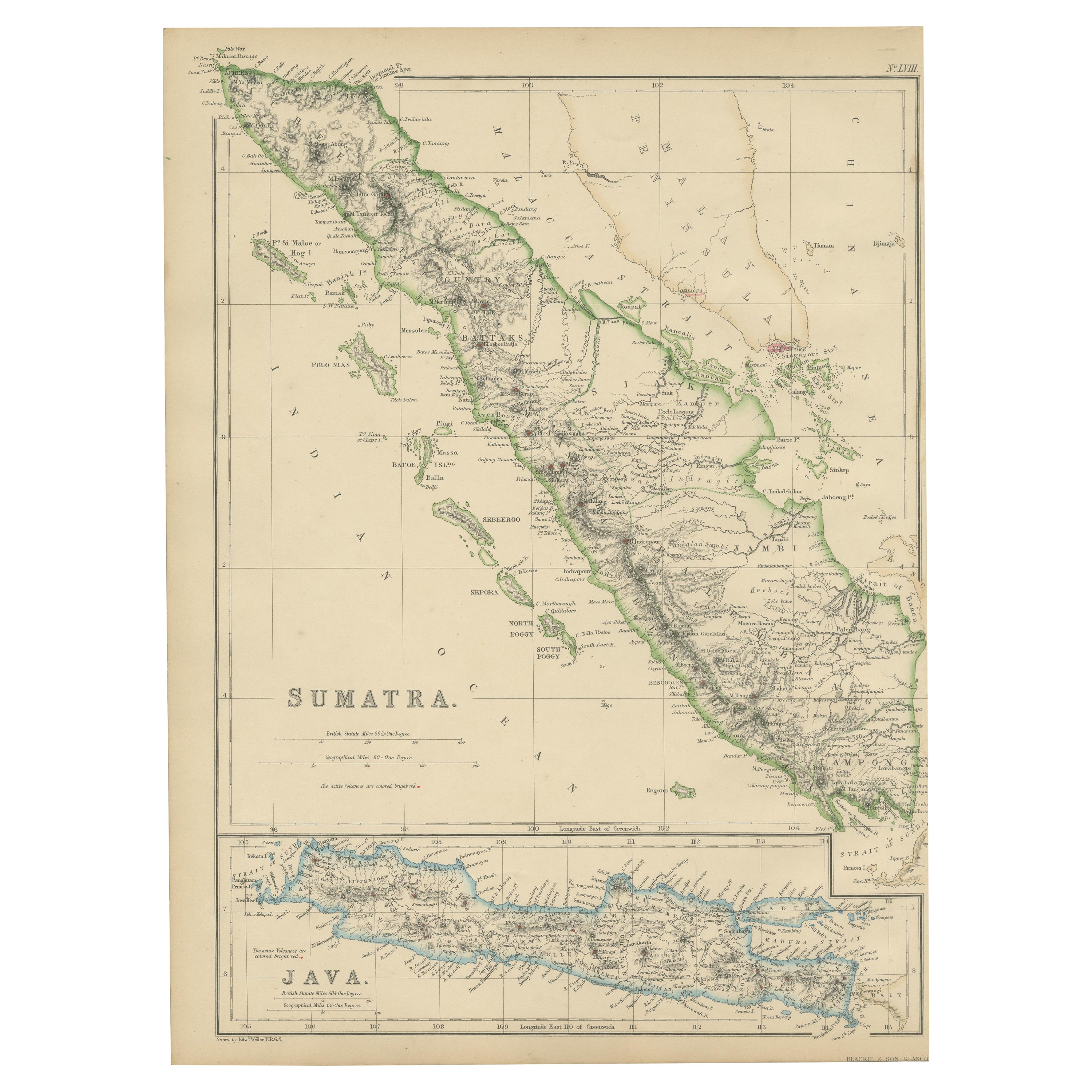
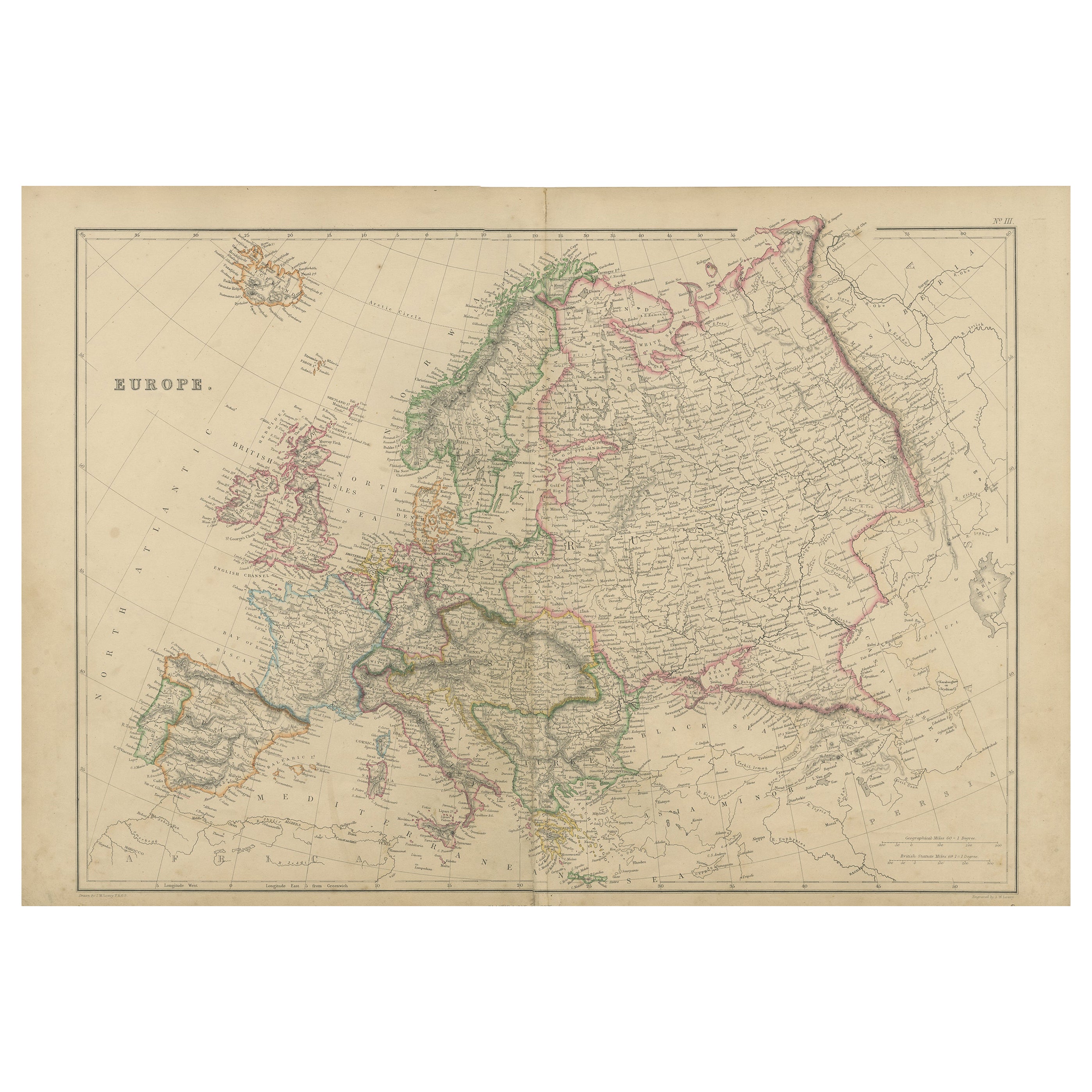
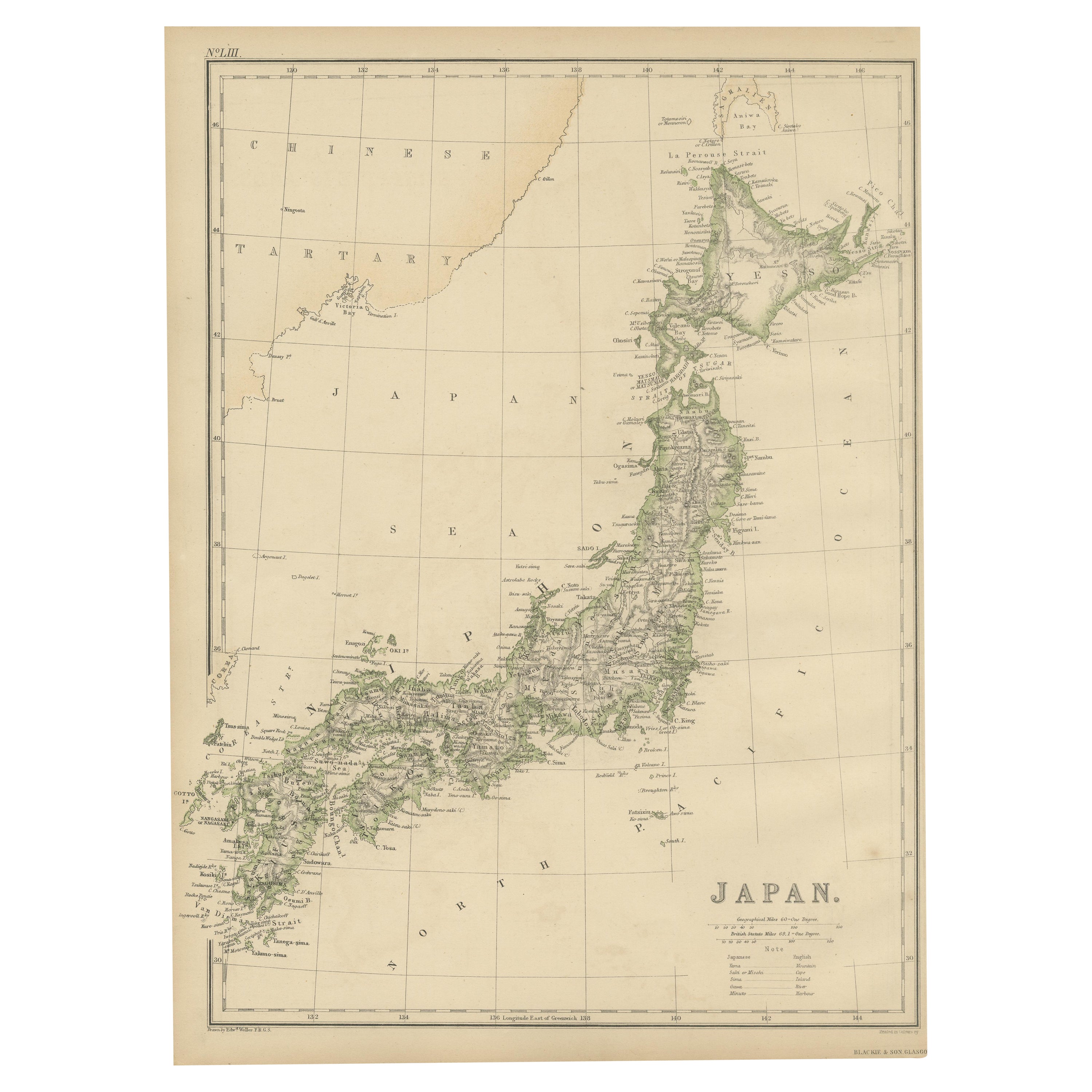
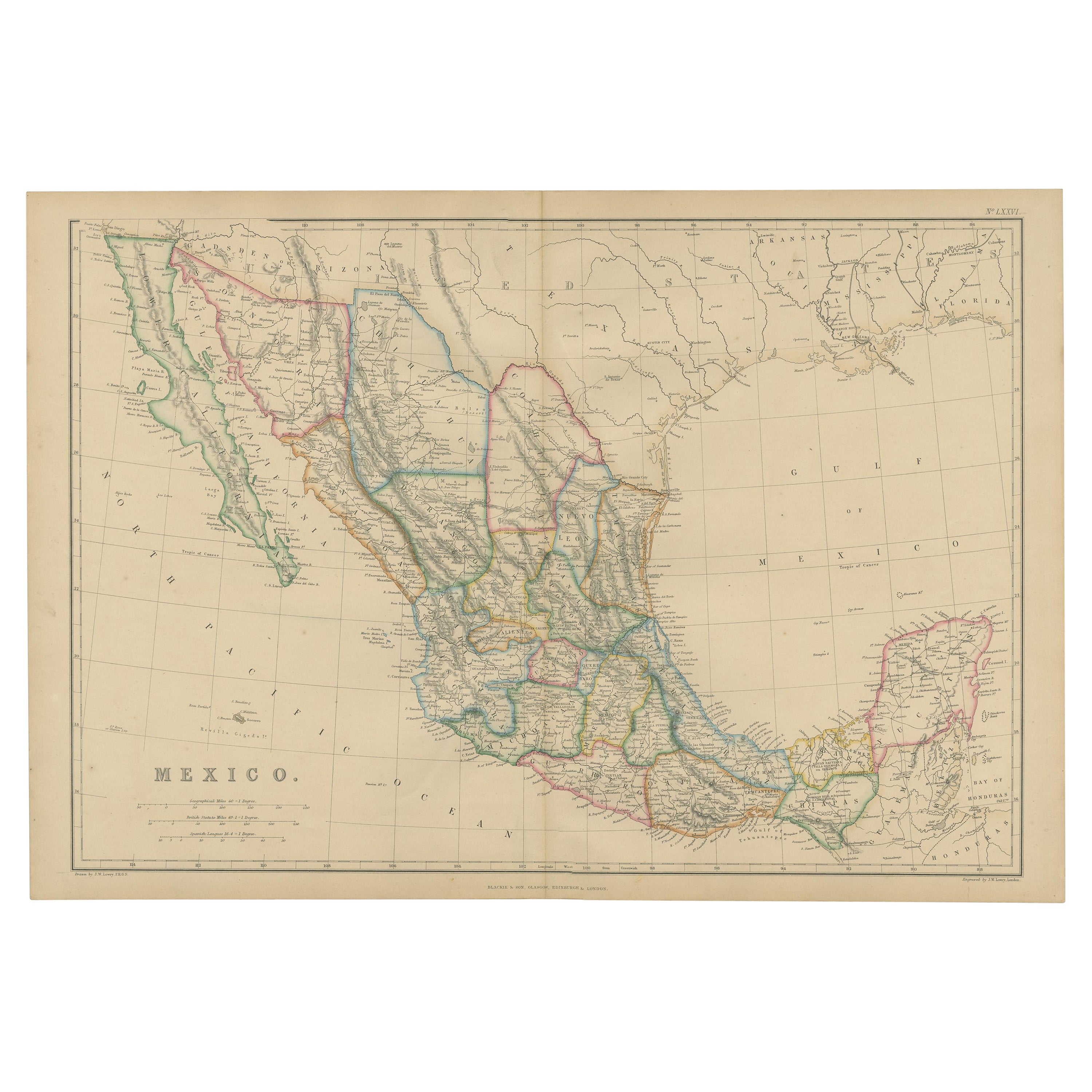
- Antique Map of South America by W. G. Blackie, 1859Located in Langweer, NLAntique map titled 'South America'. Original antique map of South America. This map originates from ‘The Imperial Atlas of Modern Geography’. Published by W. G. Blackie, 1859.Category
Antique Mid-19th Century Maps
MaterialsPaper
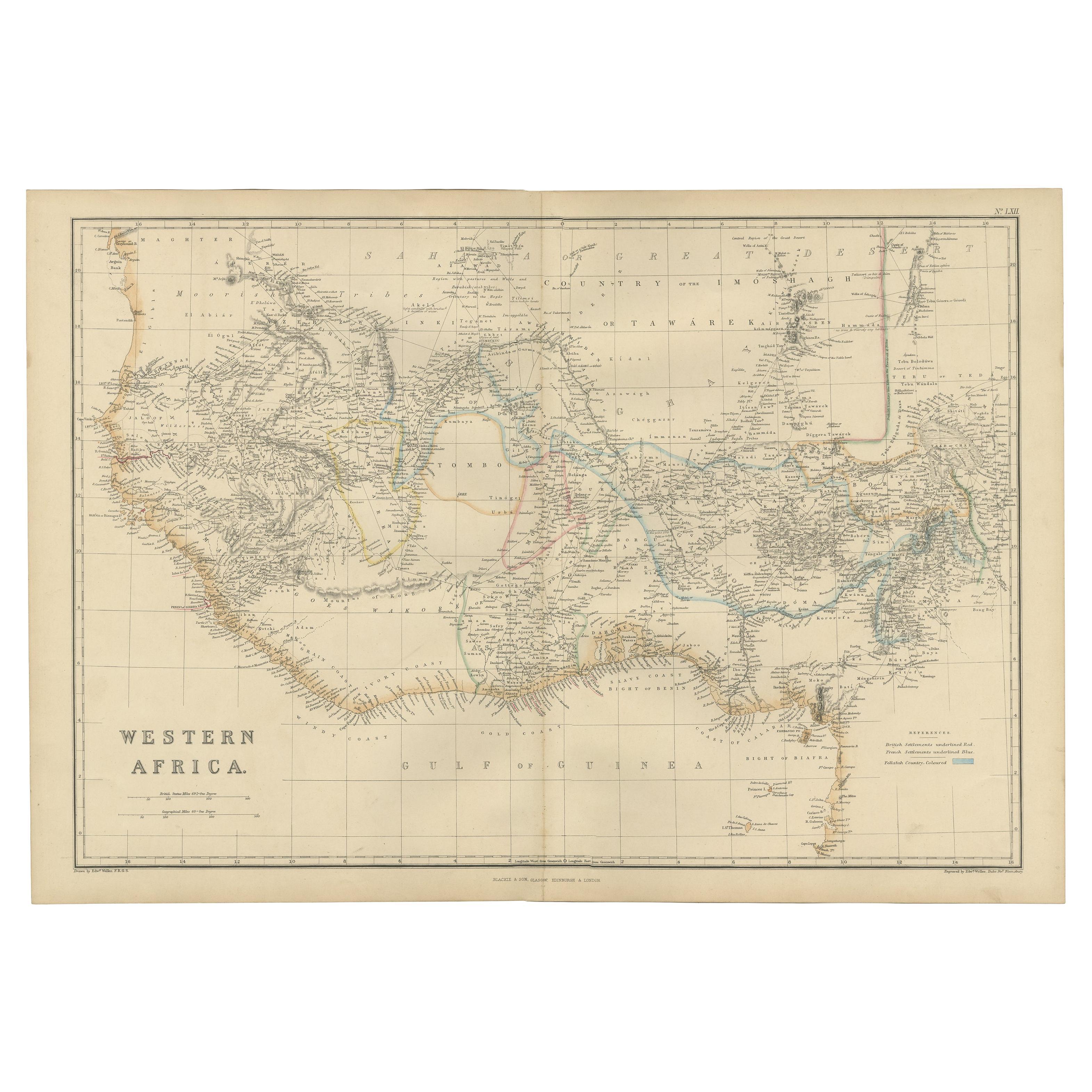
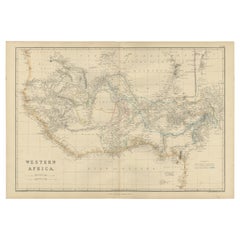
- Antique Map of Western Africa by W. G. Blackie, 1859Located in Langweer, NLAntique map titled 'Western Africa'. Original antique map of Western Africa. This map originates from ‘The Imperial Atlas of Modern Geography’. Published by W. G. Blackie, 1859.Category
Antique Mid-19th Century Maps
MaterialsPaper
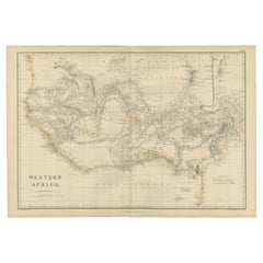
- Western Africa Antique Map by W. G. Blackie, 1859Located in Langweer, NLThe antique map titled 'Western Africa' presents an original depiction of the region. Originating from 'The Imperial Atlas of Modern Geography,' this map was published by W. G. Black...Category
Antique Mid-19th Century Maps
MaterialsPaper
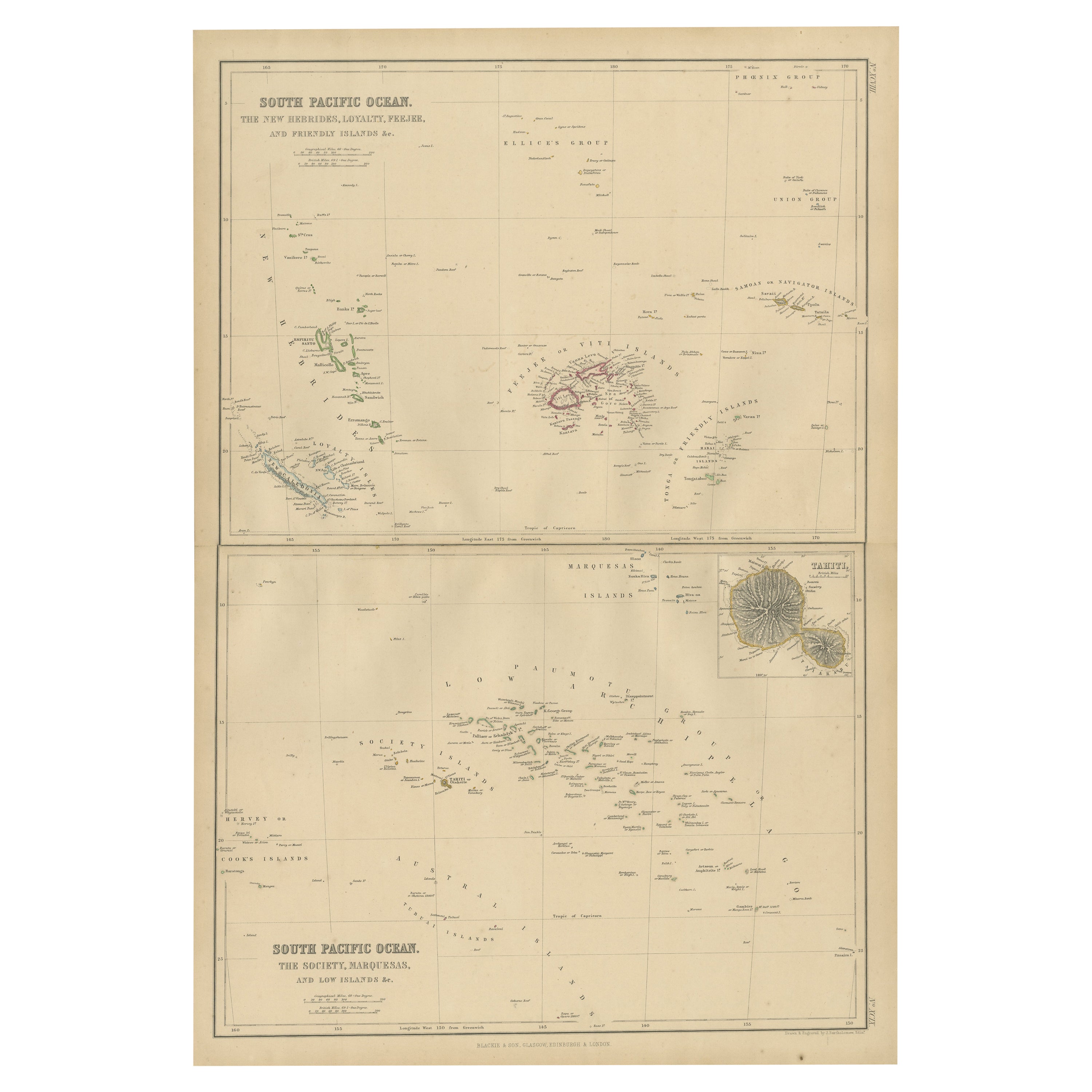
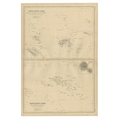
- Antique Map of South Pacific Ocean by W. G. Blackie, 1859Located in Langweer, NLAntique map titled 'South Pacific Ocean'. Original antique map of South Pacific Ocean with inset Map of Tahiti. This map originates from ‘The Imperial Atlas of Modern Geography’. Pub...Category
Antique Mid-19th Century Maps
MaterialsPaper
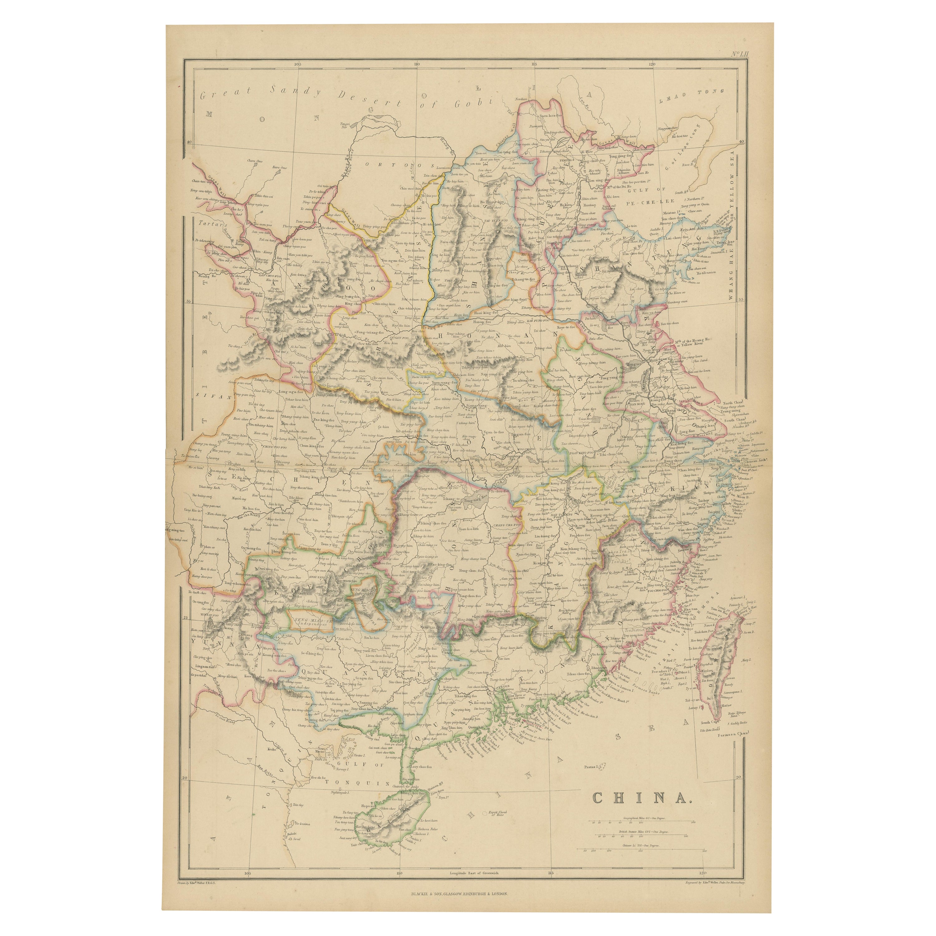
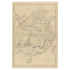
- Antique Map of China by W. G. Blackie, 1859Located in Langweer, NLAntique map titled 'China'. Original antique map of China. This map originates from ‘The Imperial Atlas of Modern Geography’. Published by W. G. Blackie, 1859.Category
Antique Mid-19th Century Maps
MaterialsPaper
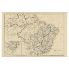
- Antique Map of Brazil by W. G. Blackie, 1859Located in Langweer, NLAntique map titled 'Brazil'. Original antique map of Brazil. This map originates from ‘The Imperial Atlas of Modern Geography’. Published by W. G...Category
Antique Mid-19th Century Maps
MaterialsPaper

You May Also Like
- Large Antique 1859 Map of North AmericaLocated in Sag Harbor, NYThis Map was made by Augustus Mitchell in 1859 It is in amazing condition for being 163 years old. This price is for the rolled up easy to ship version of this piece. I will be Frami...Category
Antique Mid-19th Century American Maps
MaterialsCanvas, Paper

- Original Antique Map of South America. C.1780Located in St Annes, LancashireGreat map of South America Copper-plate engraving Published C.1780 Two small worm holes to left side of map Unframed.Category
Antique Early 1800s English Georgian Maps
MaterialsPaper

- Original Antique Map of South America by Thomas Clerk, 1817Located in St Annes, LancashireGreat map of South America Copper-plate engraving Drawn and engraved by Thomas Clerk, Edinburgh. Published by Mackenzie And Dent, 1817 Unframed.Category
Antique 1810s English Maps
MaterialsPaper
- Original Antique Map of South America, circa 1830Located in St Annes, LancashireGreat map of South America Copper plate engraving Published by Butterworth, Livesey & Co., circa 1830 Unframed.Category
Antique Early 1800s English Other Maps
MaterialsPaper

- Original Antique Map of South East Asia by Becker, circa 1840Located in St Annes, LancashireGreat map of South East Asia Steel engraving with original color outline Engraved by Becker Published by Virtue, circa 1840. Unframed.Category
Antique 1840s English Other Maps
MaterialsPaper
- Original Antique Map of South East Asia by Thomas Clerk, 1817Located in St Annes, LancashireGreat map of South East Asia Copper-plate engraving Drawn and engraved by Thomas Clerk, Edinburgh. Published by Mackenzie And Dent, 1817 Unframed.Category
Antique 1810s English Maps
MaterialsPaper


Recently Viewed
View AllMore Ways To Browse
19th Century Map Of Africa
Antique Map South Africa
Antique Map Of South Africa
South Africa Antique Map
Antique Maps Of Islands
18th Russian
Antique Maps Of Holland
Antique Maps Of America
Antique Map Of America
Antique Furniture In Edinburgh
Victorian Tear
Antique 17th Century Map
Antique Doctors
Antique Map Framed
Antique Maps Framed
Antique Map Framers
Antique Framed Maps
Antique Map Framing