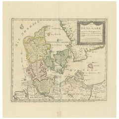
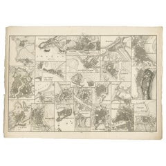
Antique Map of Denmark, circa 1800
View Similar Items


Want more images or videos?
Request additional images or videos from the seller
1 of 5
Antique Map of Denmark, circa 1800
About the Item
- Dimensions:Height: 16.54 in (42 cm)Width: 16.15 in (41 cm)Depth: 0.02 in (0.5 mm)
- Materials and Techniques:
- Period:
- Date of Manufacture:circa 1800
- Condition:Original/contemporary hand coloring, original folding line. Small repair on folding line near 'I. Laaland'. Minor wear, blank verso. Please study image carefully.
- Seller Location:Langweer, NL
- Reference Number:Seller: BG-12521-31stDibs: LU3054319678662
About the Seller
5.0
Platinum Seller
These expertly vetted sellers are 1stDibs' most experienced sellers and are rated highest by our customers.
Established in 2009
1stDibs seller since 2017
1,909 sales on 1stDibs
More From This SellerView All
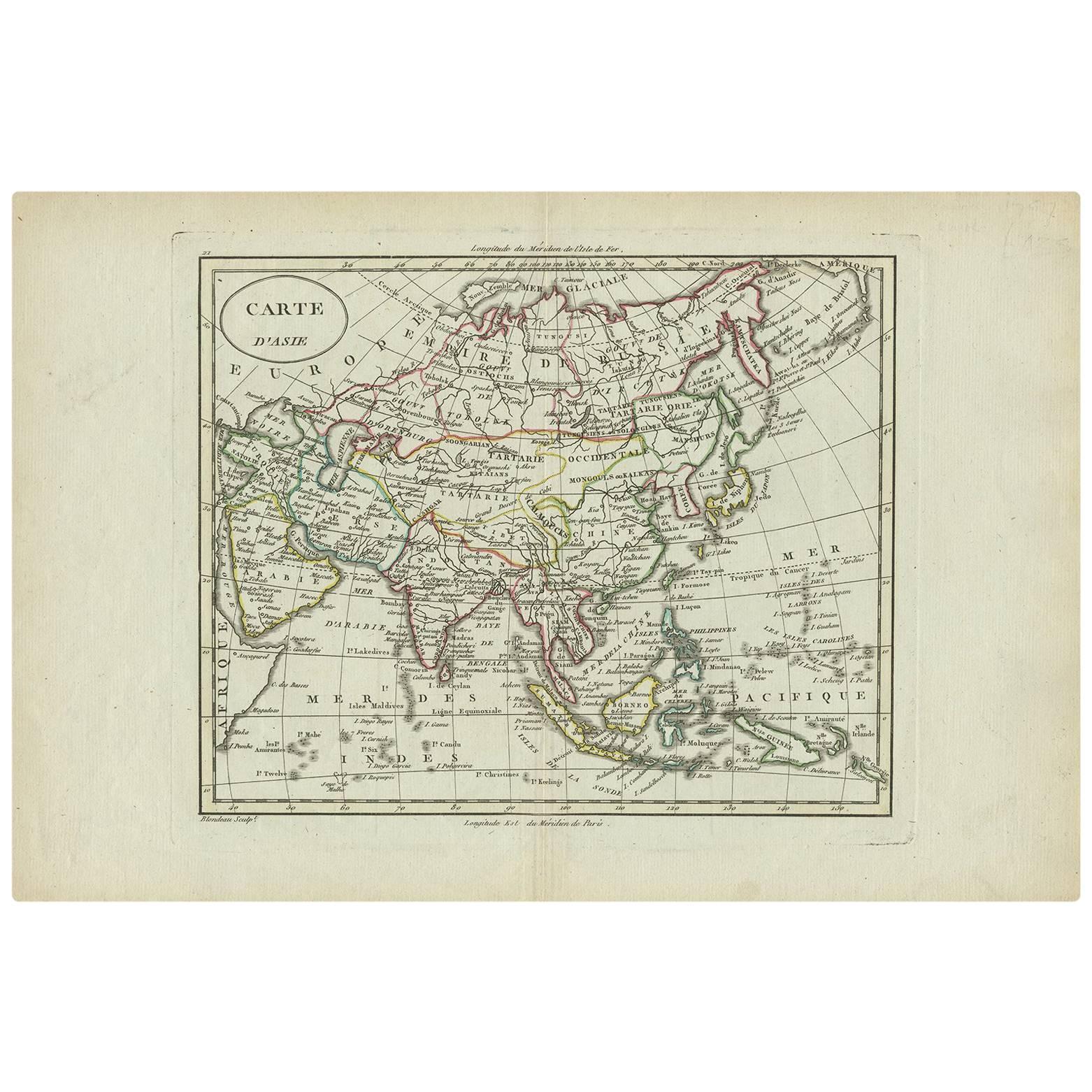
- Antique Map of Asia by A. Blondeau, circa 1800Located in Langweer, NLThis is a fine circa 1800 map of Asia by Alexandre Blondeau. It covers the entire continent from Africa and the Mediterranean east to the Bering Sea and south as far as Java and New ...Category
Antique Early 19th Century Maps
MaterialsPaper
 $212 Sale Price30% Off
 - Antique Map of Denmark by Valk 'circa 1690'Located in Langweer, NLThe map titled "Regnum Daniae, divisum in Dioeceses Arhusiam, Albergum, Viborgum, et Ripam (..)" is a meticulously detailed representation of the Kingdom of Denmark during a historic...Category
Antique Late 17th Century Maps
MaterialsPaper
- Antique Map of Denmark by Moll 'circa 1730'By Herman MollLocated in Langweer, NLAntique map titled 'Denmark, agreeable to Modern History'. Uncommon map of Denmark by Herman Moll, published, circa 1730.Category
Antique Mid-18th Century Maps
MaterialsPaper
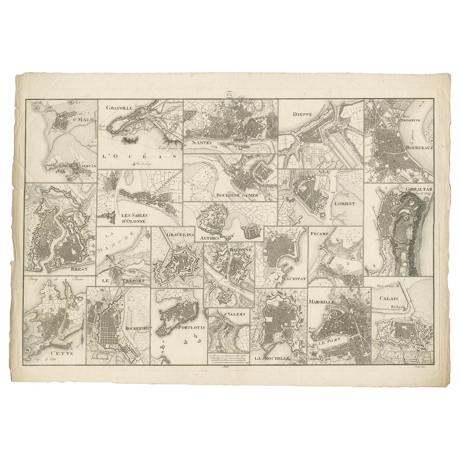
- Antique Map of Various Ports in France by Röder 'circa 1800'Located in Langweer, NLAntique print showing various ports in France. Including plans of St. Malo, Granville, Nantes, Dieppe, Bourdeauz, Gibraltar, Lorient, Boulogne sur Mer, Les Sables d'Olonne, Brest, Le Trèport, Antibes, La Ciotat...Category
Antique Early 19th Century Maps
MaterialsPaper
 $1,405 Sale Price30% Off
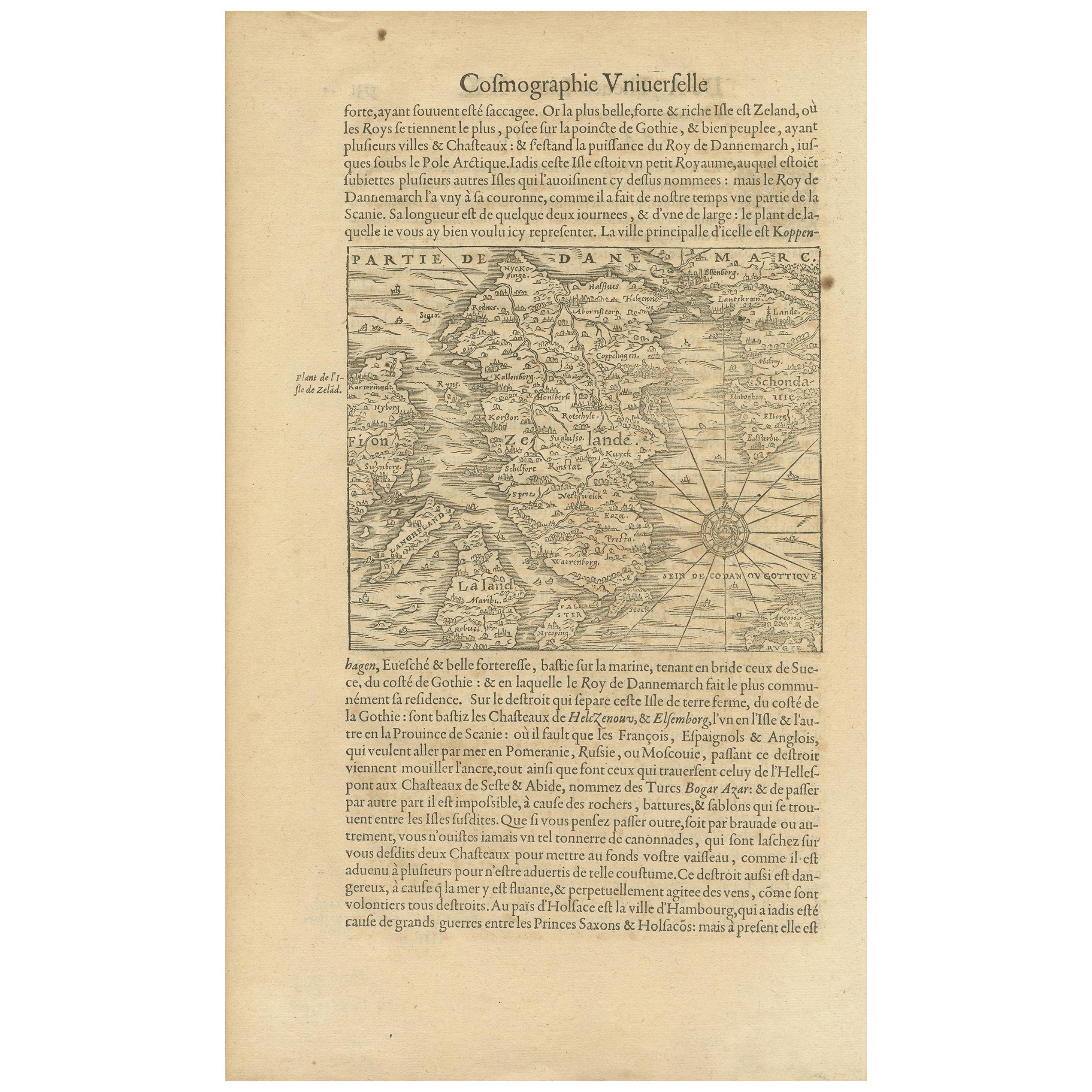
 - Antique Map of the Island of Zealand 'Denmark' by Thevet, circa 1590Located in Langweer, NLAntique map titled 'Partie de Danemarc'. Map of the island of Zealand, Denmark, including the city of Copenhagen. This map originates from 'Cosmographie Universelle' by André Thevet.Category
Antique 16th Century Maps
MaterialsPaper
- Antique Map of Denmark with an Inset Map of Iceland, 1832Located in Langweer, NLAntique map titled 'Denmark'. Large map of Denmark with an inset map of Iceland. Artists and Engravers: Published by J. Arrowsmith in London, 1832. Condition: Good, general age...Category
Antique 19th Century Maps
MaterialsPaper


You May Also Like
- Original Antique Map of South America, circa 1830Located in St Annes, LancashireGreat map of South America Copper plate engraving Published by Butterworth, Livesey & Co., circa 1830 Unframed.Category
Antique Early 1800s English Other Maps
MaterialsPaper

- Original Antique Map of Spain and Portugal, circa 1790Located in St Annes, LancashireSuper map of Spain and Portugal Copper plate engraving by A. Bell Published, circa 1790. Unframed.Category
Antique 1790s English Other Maps
MaterialsPaper
- Original Antique Map of Belgium by Tallis, Circa 1850Located in St Annes, LancashireGreat map of Belgium Steel engraving Many lovely vignettes Published by London Printing & Publishing Co. ( Formerly Tallis ), C.1850 Origin...Category
Antique 1850s English Maps
MaterialsPaper
- Antique Map of Principality of MonacoBy Antonio Vallardi EditoreLocated in Alessandria, PiemonteST/619 - "Old Geographical Atlas of Italy - Topographic map of ex-Principality of Monaco" - ediz Vallardi - Milano - A somewhat special edition ---Category
Antique Late 19th Century Italian Other Prints
MaterialsPaper
 $225 Sale Price74% Off
 - Original Antique Map of South East Asia by Becker, circa 1840Located in St Annes, LancashireGreat map of South East Asia Steel engraving with original color outline Engraved by Becker Published by Virtue, circa 1840. Unframed.Category
Antique 1840s English Other Maps
MaterialsPaper
- Original Antique Map / City Plan of Brussels by Tallis, circa 1850Located in St Annes, LancashireGreat map of Brussels. Steel engraving. Published by London Printing & Publishing Co. (Formerly Tallis), C.1850 Free shipping.Category
Antique 1850s English Maps
MaterialsPaper


Recently Viewed
View AllMore Ways To Browse
Schleswig Holstein
Antique Map Denmark
Original Antique World Map
Map Of United States
Antique German Collectible
Authentic Antique Maps
The United States Map
Map France
Map Of The United States
Antiques From Scotland
Antique Map France
France Antique Map
Antique French Maps
Antique French Map
Antique Maps France
Map Of Provence
World Map Rare
Map Plate