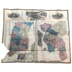
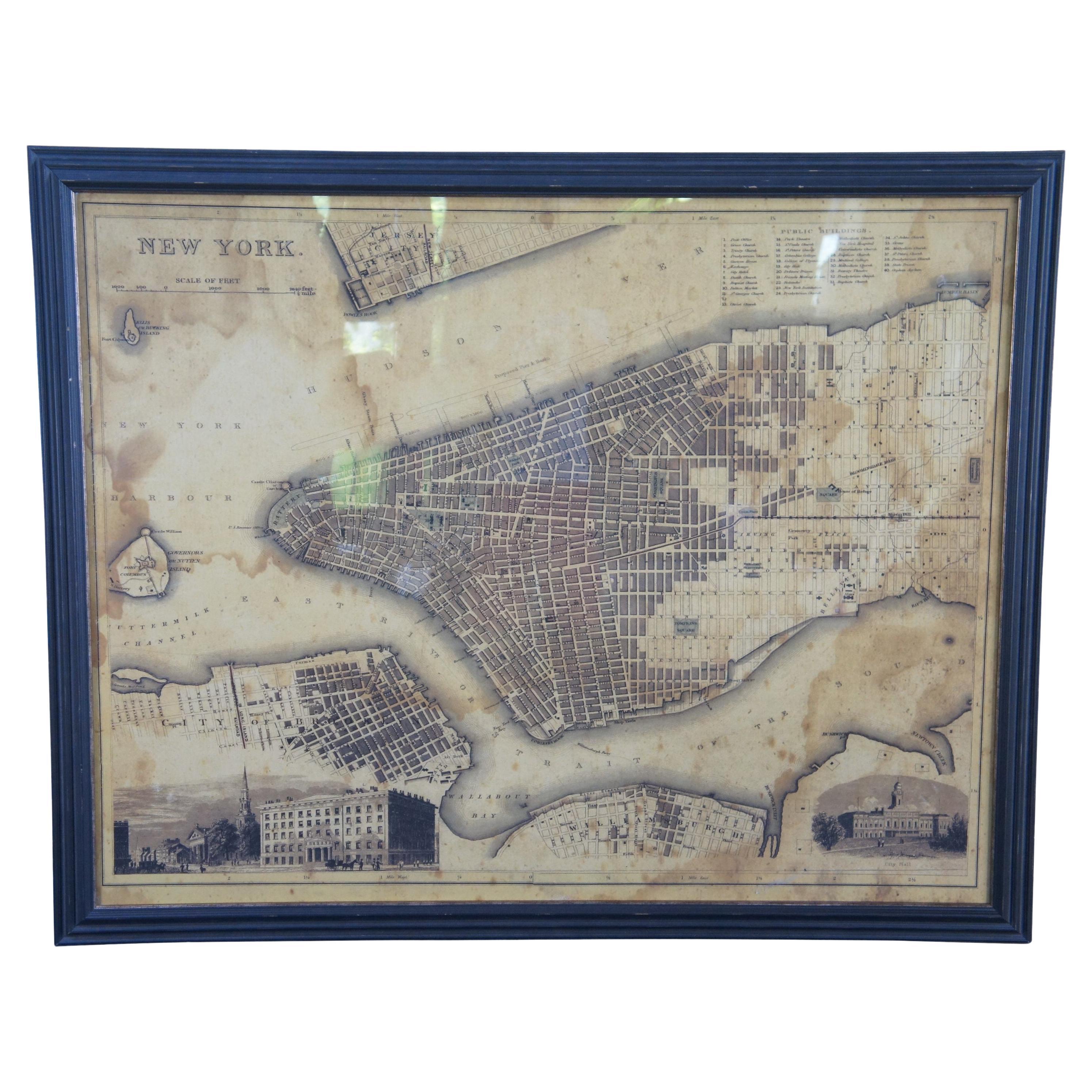
1852 Magnus Map New York City, Brooklyn & Williamsburg, Hand-Colored Engraving
View Similar Items
1 of 9
1852 Magnus Map New York City, Brooklyn & Williamsburg, Hand-Colored Engraving
About the Item
- Creator:Charles Magnus (Artist)
- Dimensions:Height: 18 in (45.72 cm)Width: 22.5 in (57.15 cm)Depth: 0.07 in (1.78 mm)
- Style:American Colonial (Of the Period)
- Materials and Techniques:Paper,Engraved
- Place of Origin:
- Period:
- Date of Manufacture:1852
- Condition:Wear consistent with age and use. Minor losses.
- Seller Location:Vineyard Haven, MA
- Reference Number:1stDibs: LU4404217289752
You May Also Like
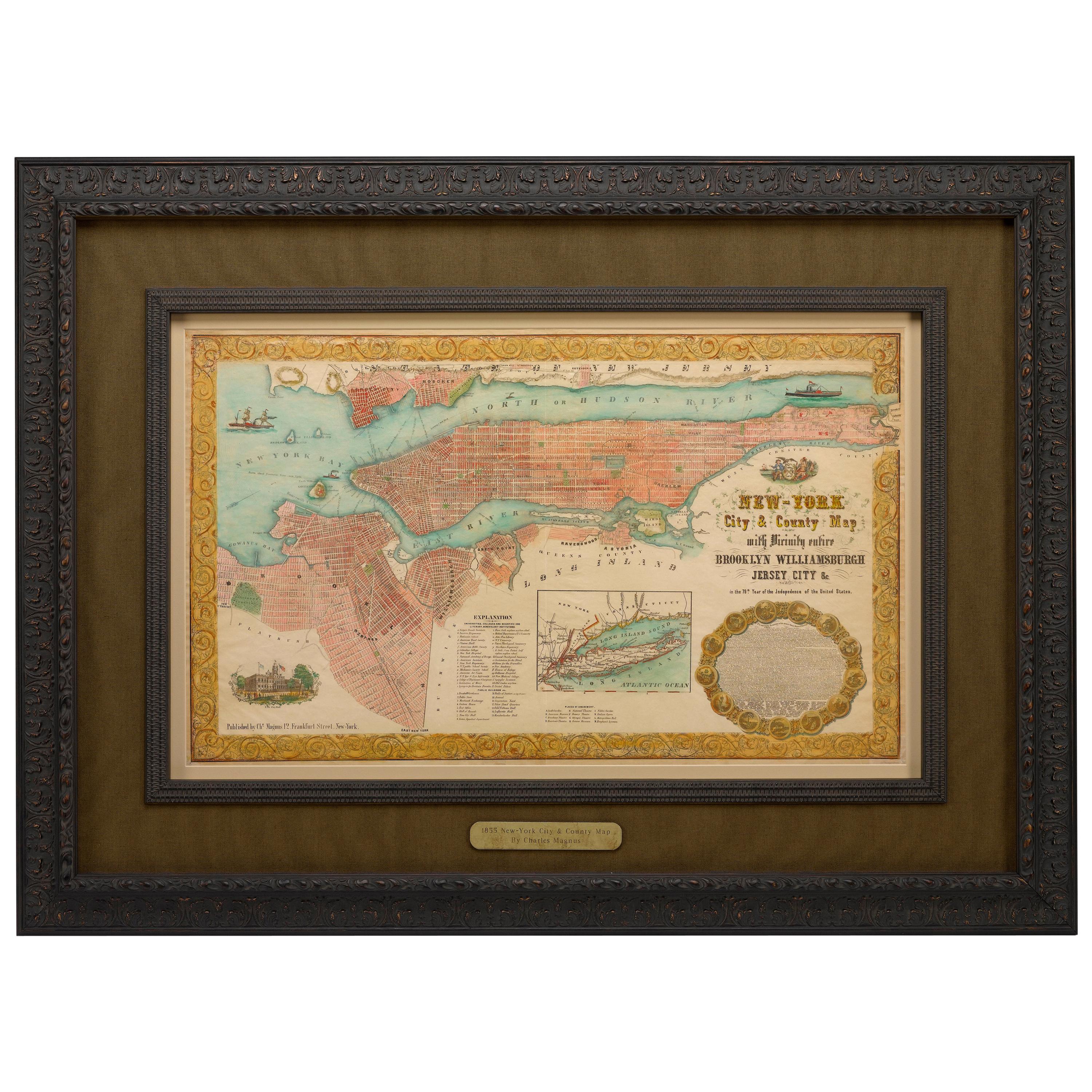
- 1855 "New-York City & County Map" by Charles MagnusBy Charles MagnusLocated in Colorado Springs, COThis is a beautiful hand-colored map titled “New York City & County Map with Vicinity entire Brooklyn, Williamsburgh, Jersey City &c.” The work was published in 1855 by Charles Magnu...Category
Antique 1850s American Maps
MaterialsPaper
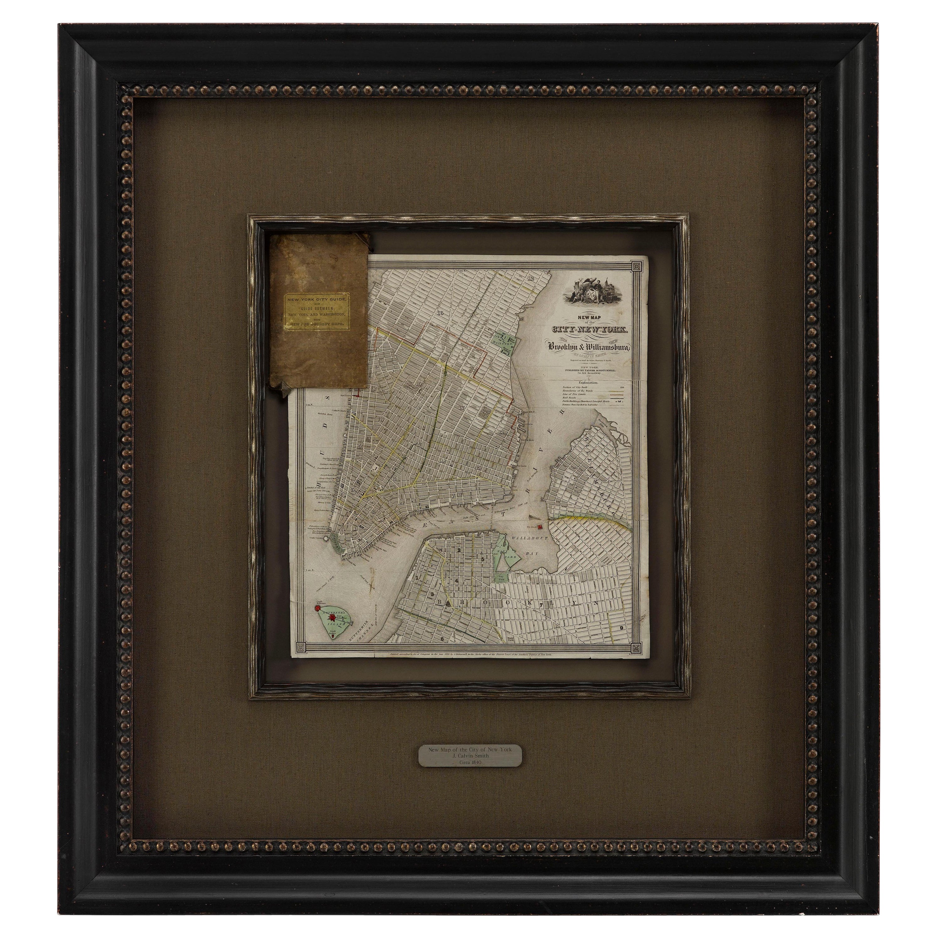
- 1840 "New Map of the City of New York With Part of Brooklyn & Williamsburg"Located in Colorado Springs, COPresented is a hand-colored, engraved folding map titled "New Map of the City of New York With Part of Brooklyn & Williamsburg" by J. Calvin Smith. The map was issued bound in the bo...Category
Antique 1840s American Maps
MaterialsPaper
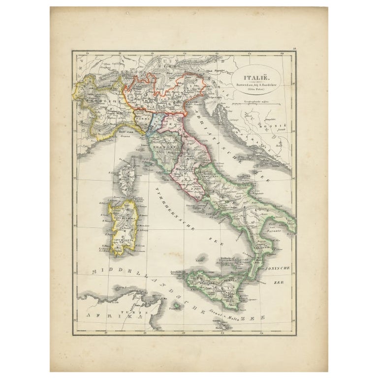
- Antique Map of Italy with Hand-Colored Borders, 1852Located in Langweer, NLAntique map titled 'Italië'. Map of Italy. This map originates from 'School-Atlas van alle deelen der Aarde' by Otto Petri. Artists and Engravers: Published by A. Baedeker (Otto Petr...Category
Antique 19th Century Maps
MaterialsPaper
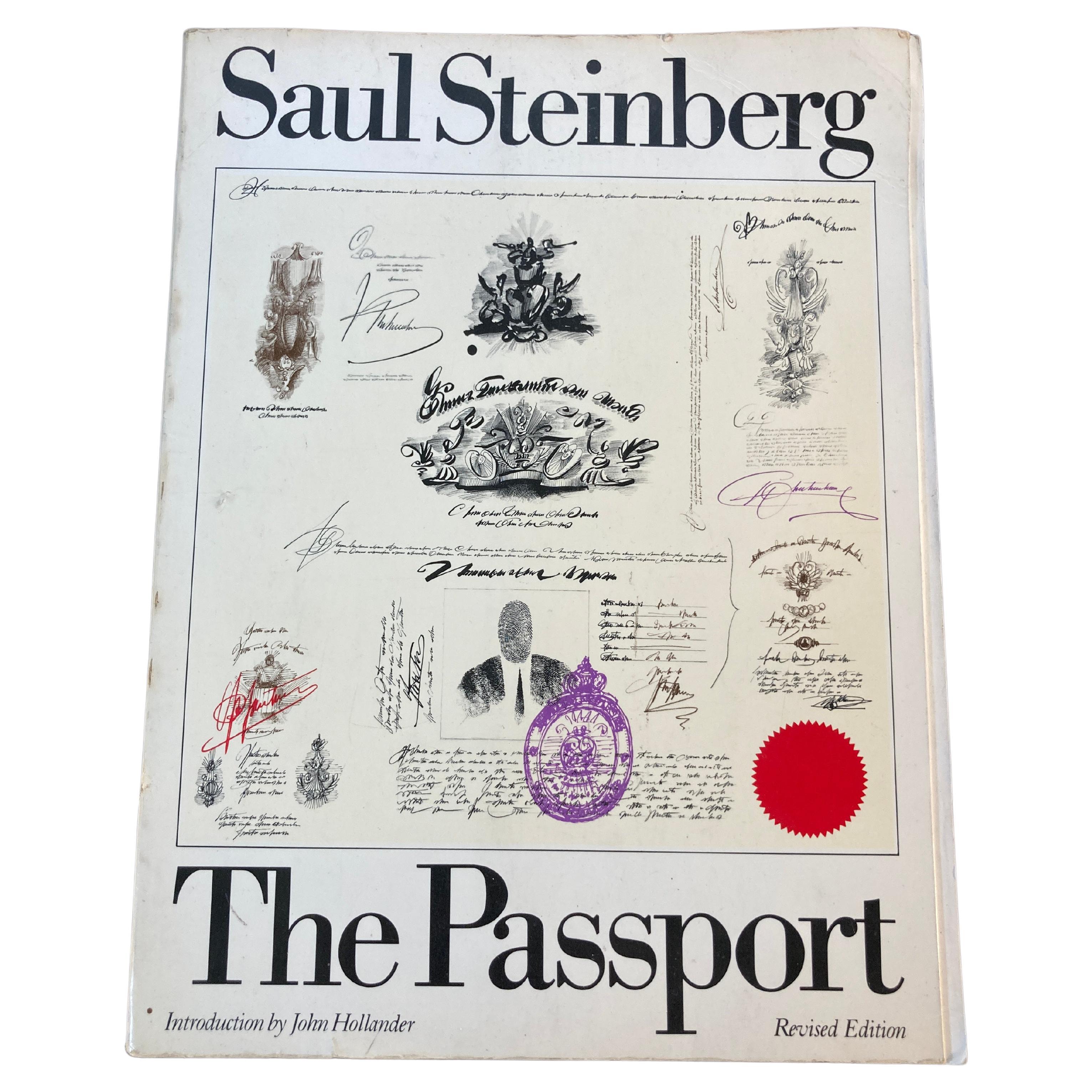
- Passport Saul Steinberg Published by Harper & Brothers, New York., 1979By Saul SteinbergLocated in North Hollywood, CA350 drawings made during the artist's travels, in his usual satirical and witty style.Presentation copy from the artist, inscribed on the half-title page: ''Pour Ga' Jean & Pegeen , ...Category
20th Century North American Folk Art Books
MaterialsPaper
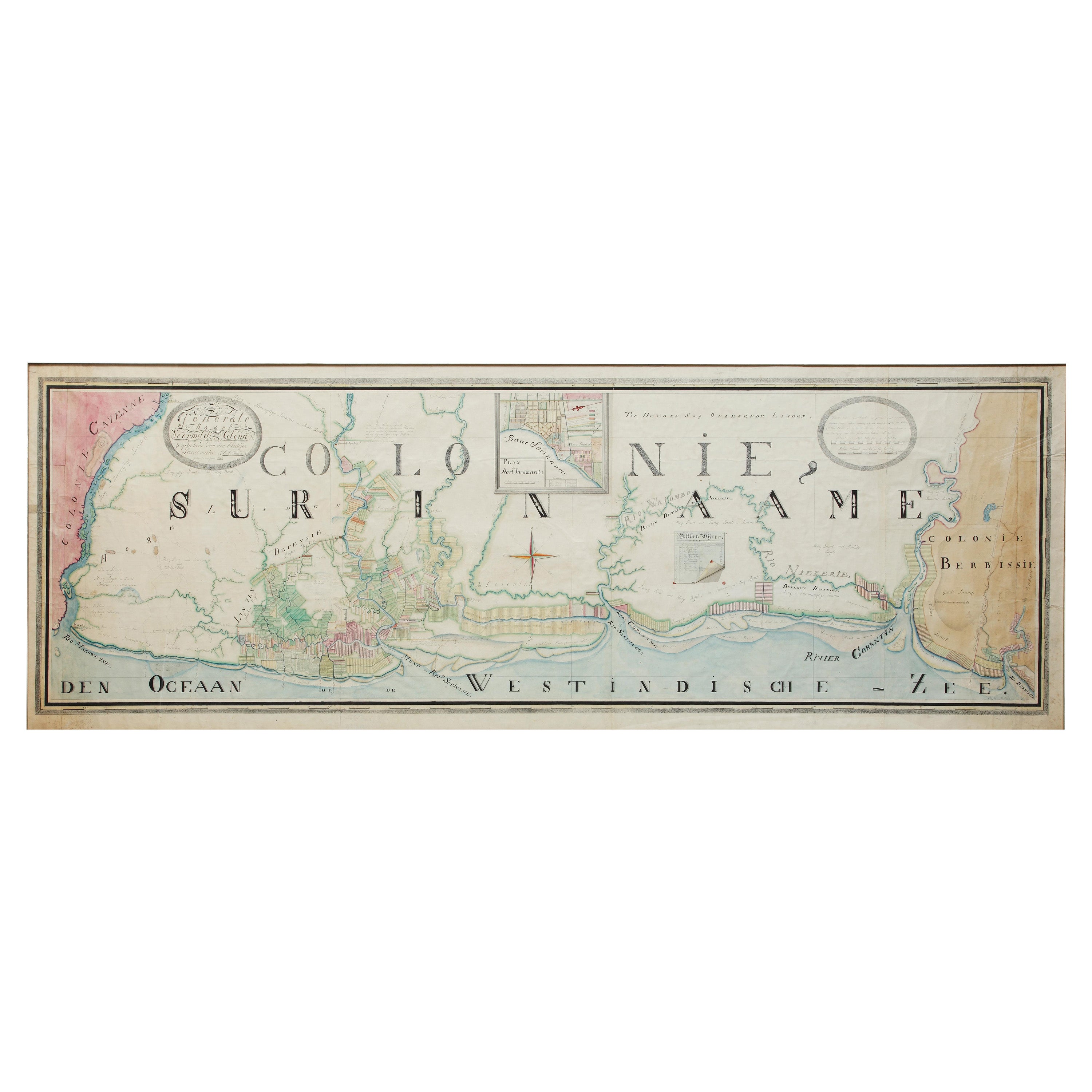
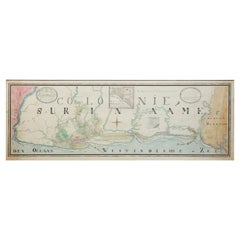
- Extremely Large Hand-Drawn Manuscript Map of Surinam, 1830, History of SlaveryLocated in Amsterdam, NLA unique large hand-drawn map of Surinam by Albrecht Helmut Hiemcke (German, 1760-1839) ? 'Colonie Surinaame', 1830 A large hand-drawn and coloured map of the colony of Suri...Category
Antique Mid-19th Century Surinamer Maps
MaterialsPaper
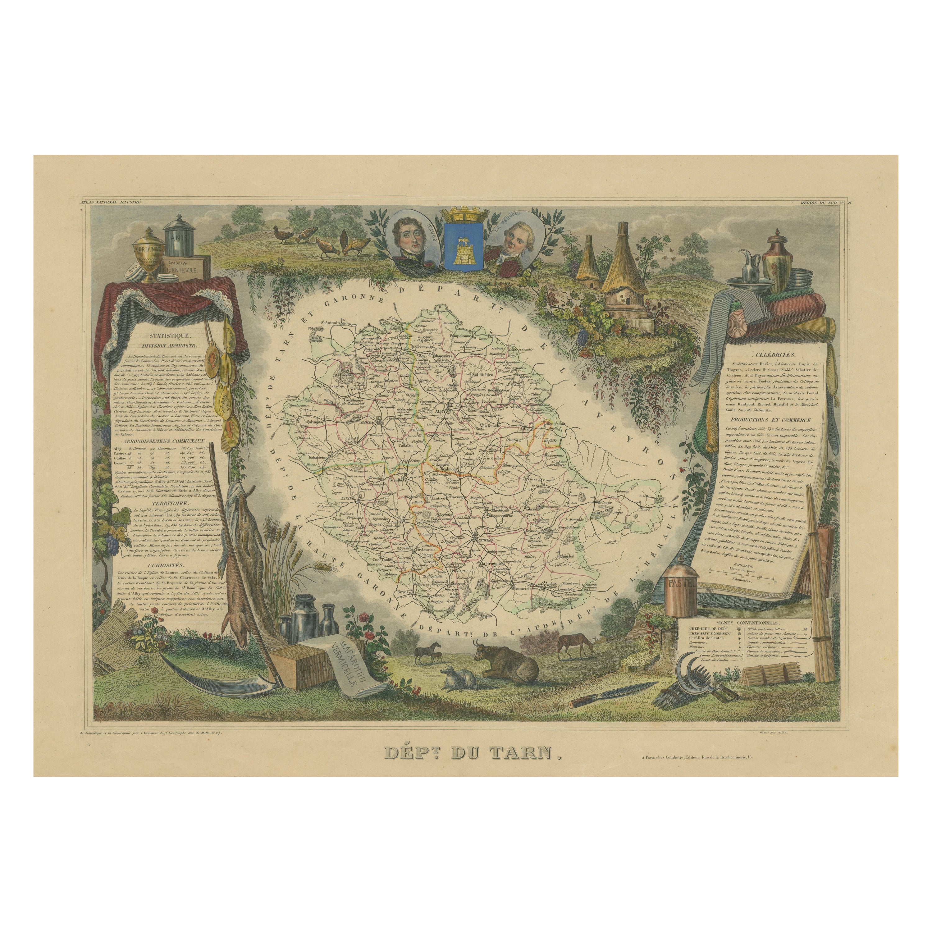
- Hand Colored Antique Map of the Department of Tarn, France, circa 1852By Victor LevasseurLocated in Langweer, NLAntique map titled 'Dépt. du Tarn'. Map of the French department of Tarn, France. This area produces a variety of traditional wines, including Cahors, Mauzac, Loin de l’Oeil and Onde...Category
Antique Mid-19th Century Maps
MaterialsPaper


Recently Viewed
View AllMore Ways To Browse
Williamsburg Colonial
Charles Ward
Antique New York City Maps
Antique Maps New York City
Williamsburg Antique
Antique Map New York City
Antique Map Of New York City
Antique Maps Of New York City
Antique Furniture Williamsburg
Ferry Building
New York City Map Lithograph
Birds Eye View Map
Brooklyn Map
Antique Map Brooklyn
Antique Map Of Brooklyn
Antique Brooklyn Map
Map Of The World Antique
Rare Maps