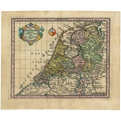
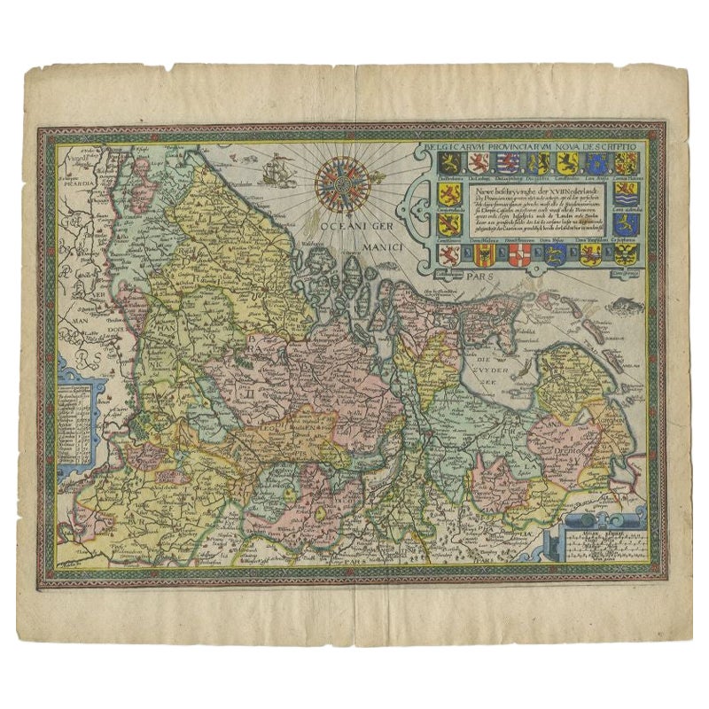
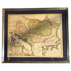
Antique Map of the Netherlands by J.C. Weigel, 1723
View Similar Items

Want more images or videos?
Request additional images or videos from the seller
1 of 2
Antique Map of the Netherlands by J.C. Weigel, 1723
About the Item
- Dimensions:Height: 7.25 in (18.4 cm)Width: 8.67 in (22 cm)Depth: 0.02 in (0.5 mm)
- Period:
- Date of Manufacture:1723
- Condition:Minor age-related toning. Please study image carefully.
- Seller Location:Langweer, NL
- Reference Number:Seller: D-02891stDibs: LU305439343551
About the Seller
5.0
Platinum Seller
These expertly vetted sellers are 1stDibs' most experienced sellers and are rated highest by our customers.
Established in 2009
1stDibs seller since 2017
1,907 sales on 1stDibs
More From This SellerView All
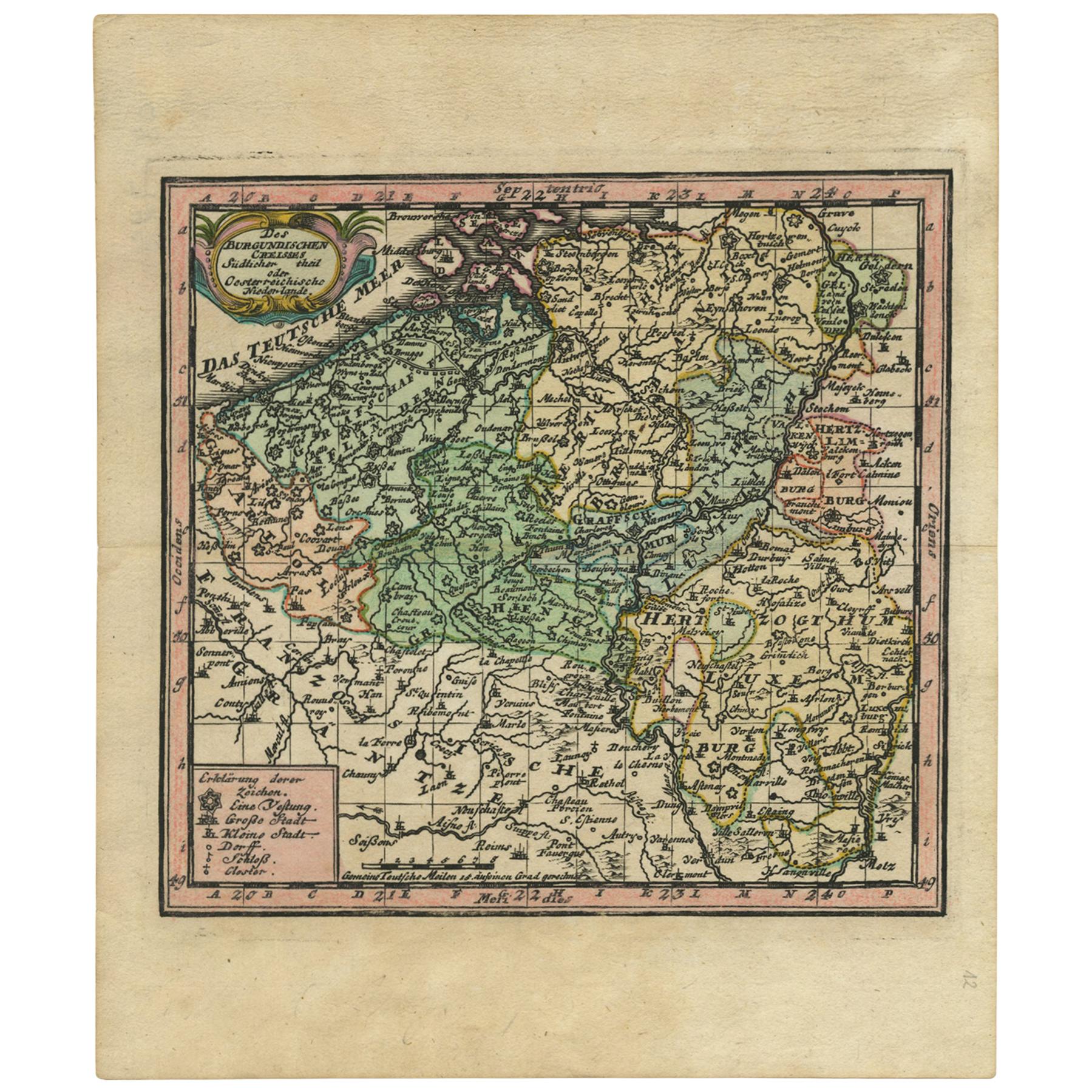
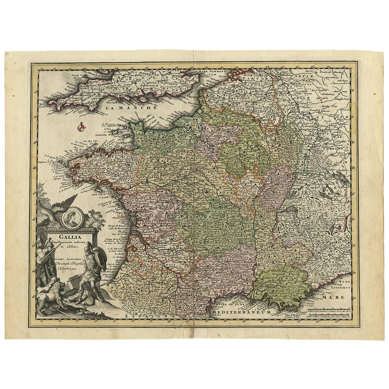
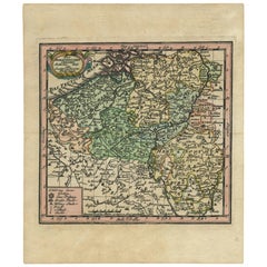
- Antique Map of Belgium by J.C. Weigel, 1723Located in Langweer, NLAntique map titled 'Des Burgundischen Creisses Südlicher theil oder Oesterreichische Niederlande'. This map originates from 'Continuirter Atlas Portatilis Germanicus (..)' by Johann ...Category
Antique Early 18th Century Maps
MaterialsPaper
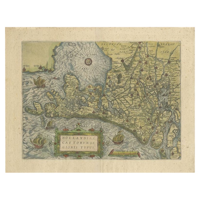
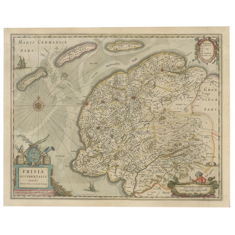
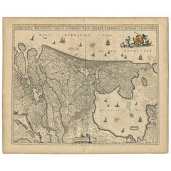
- Antique Map of the Netherlands by N. Visscher, 1684Located in Langweer, NLAntique map titled 'Comitatus Hollandiae Tabula Pluribus Locis Recens Emendata a Nicolao I. Visschero'. West to the top. Lower left inset of the Wadden Islands, Texel, Vlieland, Ters...Category
Antique Late 17th Century Maps
MaterialsPaper
 $952 Sale Price20% Off
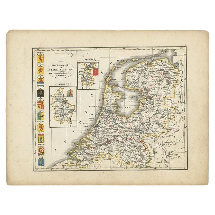
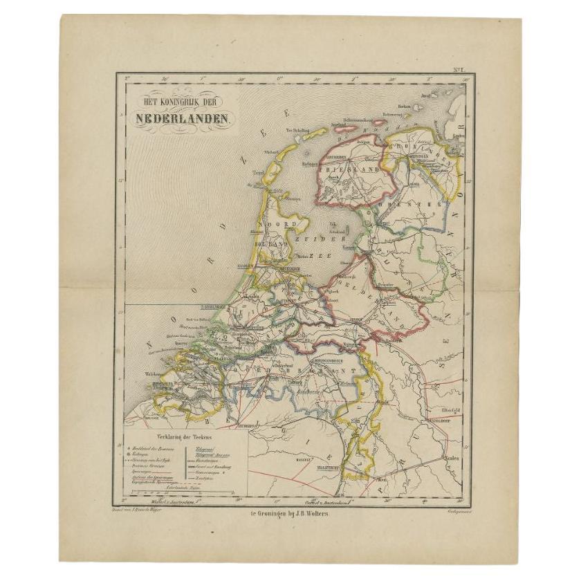
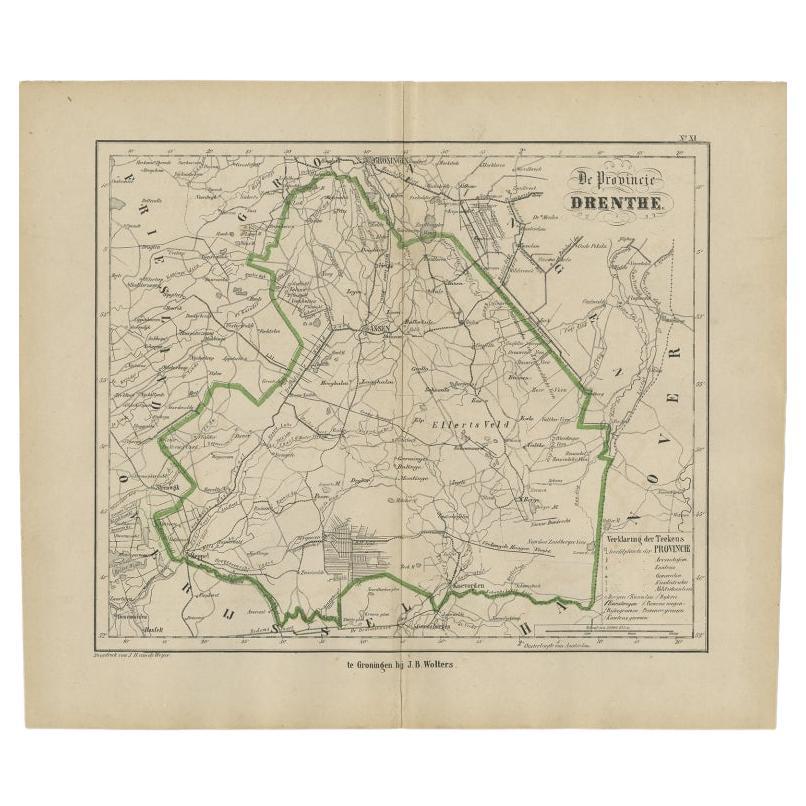
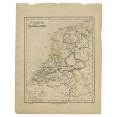
 - Antique Map of the Netherlands by Brugsma, c.1870Located in Langweer, NLAntique map titled 'Het Koningrijk der Nederlanden'. Map of the Netherlands. This map originates from 'F. C. Brugsma's Atlas van het Koninkrijk der Nederlanden (..)'. Artists and...Category
Antique 19th Century Maps
MaterialsPaper
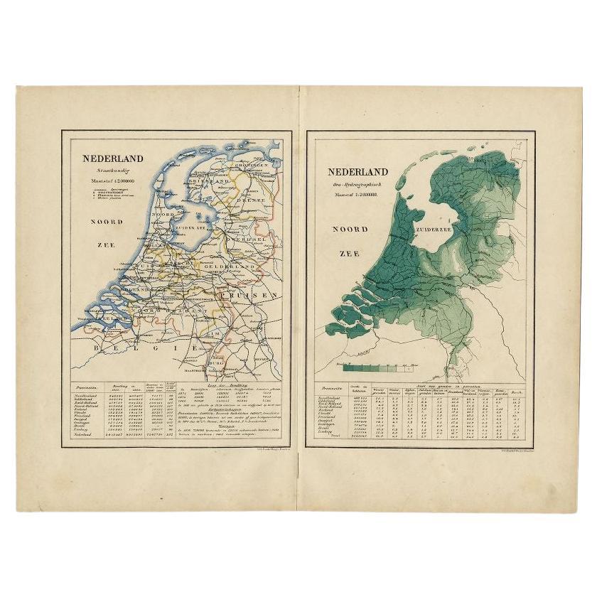
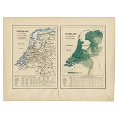
- Antique Map of the Netherlands by Kuyper, 1883Located in Langweer, NLAntique map titled 'Nederland Staatkundig - Nederland Oro-Hydrographisch'. Political and orohydrographic map of the Netherlands, two maps on one...Category
Antique 19th Century Maps
MaterialsPaper
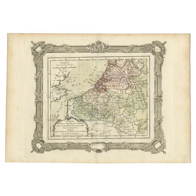
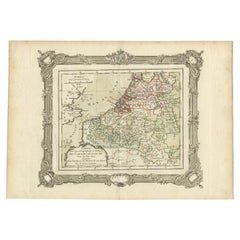
- Antique Map of the Netherlands by Zannoni, 1765Located in Langweer, NLAntique map titled 'Carte Historique, Geographique et Militaire des Campagnes de Louis XIV dans les Pays Bas (..)'. Beautiful old map of the Netherlands...Category
Antique 18th Century Maps
MaterialsPaper
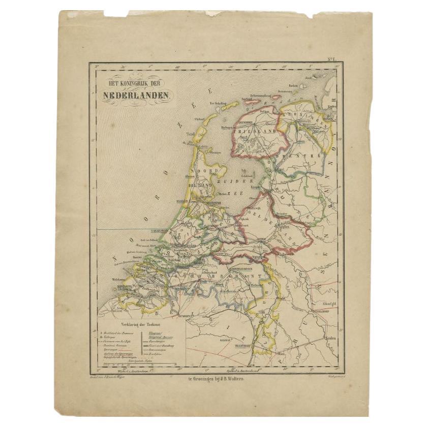
- Antique Map of the Netherlands by Brugsma, 1864Located in Langweer, NLAntique map titled 'Het Koningrijk der Nederlanden'. Map of the Netherlands. This map originates from 'F. C. Brugsma's Atlas van het Koninkrijk ...Category
Antique 19th Century Maps
MaterialsPaper

You May Also Like
- Original Antique Map of The Netherlands, Engraved by Barlow, Dated 1807Located in St Annes, LancashireGreat map of Netherlands Copper-plate engraving by Barlow Published by Brightly & Kinnersly, Bungay, Suffolk. Dated 1807 Unframed.Category
Antique Early 1800s English Maps
MaterialsPaper
- Original Antique Map of The Netherlands, Sherwood, Neely & Jones, Dated 1809Located in St Annes, LancashireGreat map of The Netherlands Copper-plate engraving by Cooper Published by Sherwood, Neely & Jones. Dated 1809 Unframed.Category
Antique Early 1800s English Maps
MaterialsPaper
- Four 18th Century Engraved and Hand-Colored Maps by WeigelBy Christoph WeigelLocated in Copenhagen, KSmall collection of four engraved maps of Italy, Balkan and of Central Asia. Two are of Italy, one Corsica and Northern Italy and the other of the Southern Italian boot...Category
Antique 18th Century German Maps
MaterialsPaper
- 1861 Topographical Map of the District of Columbia, by Boschke, Antique MapLocated in Colorado Springs, COPresented is an original map of Albert Boschke's extremely sought-after "Topographical Map of the District of Columbia Surveyed in the Years 1856 ...Category
Antique 1860s American Historical Memorabilia
MaterialsPaper
- School Chart or Pull Down Map of Geography of the Netherlands, 1950sLocated in Hemiksem, VANA beautiful old school map of the Netherlands, painted on linen. The map shows the 3 different reliefs (low, middle, high) of the Netherlands. The beau...Category
Vintage 1950s Belgian Mid-Century Modern Maps
MaterialsLinen, Paint
- 1752 Vaugoundy Map of Flanders : Belgium, France, and the Netherlands, Ric.a002Located in Norton, MALarge Vaugoundy Map of Flanders: Belgium, France, and the Netherlands Colored -1752 Ric.a002 Description: This is a 1752 Didier Robert de Vaugondy map of Flanders. The map de...Category
Antique 17th Century Unknown Maps
MaterialsPaper


Recently Viewed
View AllMore Ways To Browse
Bag With Map
Bonne Map
Antique Irish Maps
Antique Map Ireland
Antique Map Of Ireland
Antique Maps Of Ireland
George Fleet
Antique Ireland Map
Antique Irish Map
South Pole
New Zealand Map
Antique Maps Ireland
Antique Ireland Maps
Antique Railroad Maps
Antique Map Art Collectibles
Antique Maps Art Collectibles
Map Of New Zealand
James Cook Map