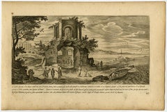
'L'occidua facciata d'un Tempio anticho.
View Similar Items

1 of 1
Aegidius Sadeler'L'occidua facciata d'un Tempio anticho.1606
1606
About the Item
- Creator:Aegidius Sadeler (1570 - 1629, Flemish)
- Creation Year:1606
- Dimensions:Height: 8.59 in (21.8 cm)Width: 13 in (33 cm)
- Medium:
- Period:1600-1609
- Condition:Ample margins. Dampstained in the right margin. Some general soiling in the margins and scattered light foxing. A small dark stain in the top left margin corner. General age-related toning and occasional minor defects from handling.
- Gallery Location:Zeeland, NL
- Reference Number:Seller: 625961stDibs: LU59233218643
You May Also Like
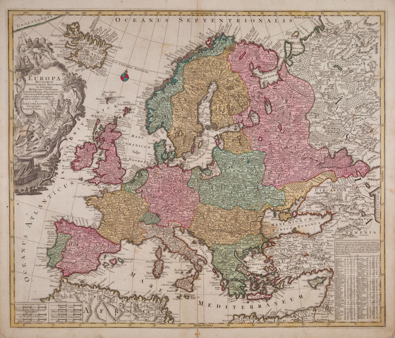
- Europa Regnorum Provinciarum: 18th Century Hand-colored Map of Europe by LotterBy Tobias Conrad LotterLocated in Alamo, CAThis is an 18th century hand-colored copperplate engraved map entitled "Europa Regnorum Provinciarum Regionum" created by the German cartographer Tobias Conrad Lotter. It was publish...Category
Mid-18th Century Landscape Prints
MaterialsEngraving
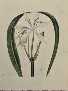
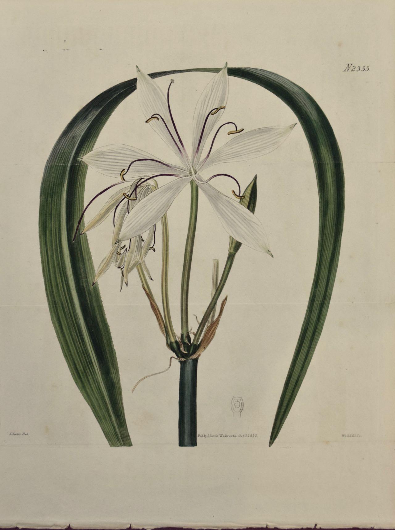
- Flowering Crinum Plant: A 19th C. Hand-colored Botanical Engraving by CurtisBy William CurtisLocated in Alamo, CAThis early 19th century hand-colored double fold-out botanical engraving is entitled "Crinum Arenarium" (Water-Island Sand Crinum), plate 2355, published in London in 1822 in William...Category
1820s Naturalistic Still-life Prints
MaterialsEngraving
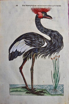
- Crowned Heron Bird: A 16th/17th Century Hand-colored Engraving by AldrovandiBy Ulisse AldrovandiLocated in Alamo, CAThis very rare, first edition, folio hand-colored engraving of a Crowned Heron bird is plate 362 from Ulisse Aldrovandi’s 'Opera Omnia', published be...Category
Early 17th Century Naturalistic Animal Prints
MaterialsEngraving
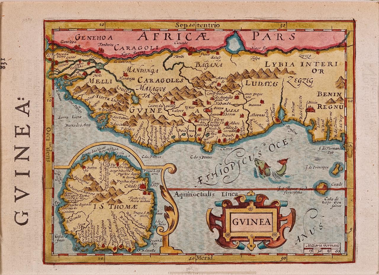
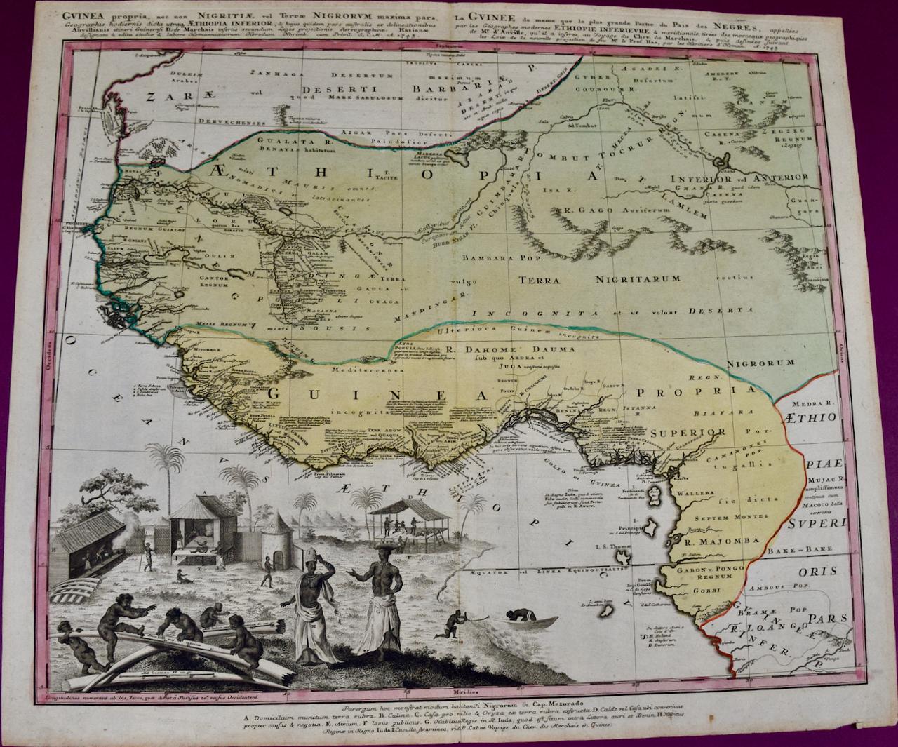
- West Africa: A 17th Century Hand-Colored Map by Mercator/HondiusBy Gerard MercatorLocated in Alamo, CAA 17th century hand-colored map entitled "Guineae Nova Descriptio" by Gerard Mercator and Jodocus Hondius, published in their 'Atlas Minor' in Amsterdam in 1635. It is focused on the...Category
1630s Landscape Prints
MaterialsEngraving
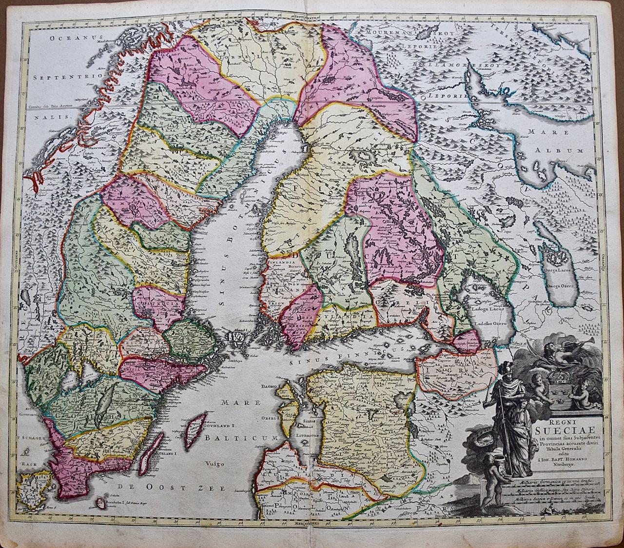
- Sweden and Adjacent Portions of Scandinavia: A Hand-colored 18th C. Homann MapBy Johann Baptist HomannLocated in Alamo, CAThis hand-colored copper-plate map of Sweden and adjacent portions of Scandinavia entitled "Regni Sueciae in Omnes suas Subjacentes Provincias accurate divisi Tabula Generalis" was c...Category
Early 18th Century Old Masters Landscape Prints
MaterialsEngraving
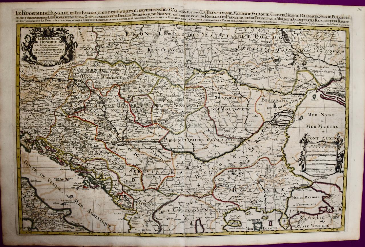
- Hungary & Eastern Europe: A Large 17th C. Hand-colored Map by Sanson & JaillotBy Nicholas Sanson d'AbbevilleLocated in Alamo, CAThis large hand-colored map entitled "Le Royaume De Hongrie et les Estats qui en ont este sujets et qui font presentement La Partie Septentrionale de la Turquie en Europe" was origin...Category
1690s Landscape Prints
MaterialsEngraving